Gerani | |
|---|---|
village | |
| Γεράνι (Greek) Turnalar (Turkish) | |
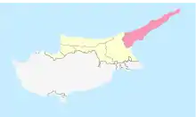
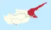
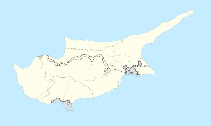 Gerani Location in Cyprus | |
| Coordinates: 35°21′33″N 33°55′20″E / 35.35917°N 33.92222°E | |
| Country (de jure) | |
| • District | Famagusta District |
| Country (de facto) | |
| • District | İskele District |
| Government | |
| • Mukhtar | Yaşar Okumuş |
| Population (2011)[2] | |
| • Total | 142 |
| Time zone | UTC+2 (EET) |
| • Summer (DST) | UTC+3 (EEST) |
Gerani (Greek: Γεράνι, literally 'Geranium', Turkish: Turnalar) is a village in the Famagusta District of Cyprus, located 8 km (5.0 mi) northeast of Trikomo. It is under the de facto control of Northern Cyprus.
References
- ↑ In 1983, the Turkish Republic of Northern Cyprus unilaterally declared independence from the Republic of Cyprus. The de facto state is not recognised by any UN state except Turkey.
- ↑ KKTC 2011 Nüfus ve Konut Sayımı [Northern Cyprus 2011 Population and Housing Census] (PDF), Northern Cyprus State Planning Organization, 6 August 2013, archived from the original (PDF) on 2013-11-06
This article is issued from Wikipedia. The text is licensed under Creative Commons - Attribution - Sharealike. Additional terms may apply for the media files.