Vasili | |
|---|---|
| Βασίλι (Greek) Gelincik (Turkish) | |
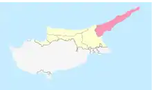
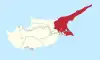
 Vasili Location in Cyprus | |
| Coordinates: 35°28′21″N 34°8′59″E / 35.47250°N 34.14972°E | |
| Country (de jure) | |
| • District | Famagusta District |
| Country (de facto) | |
| • District | İskele District |
| Government | |
| • Mukhtar | Esat Nurçin |
| Population (2011)[2] | |
| • Total | 496 |
| Time zone | UTC+2 (EET) |
| • Summer (DST) | UTC+3 (EEST) |
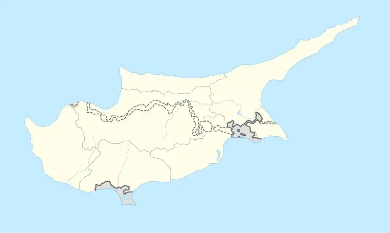
Vasili is a small village in the Famagusta District of Cyprus, near the villages Leonarisso and Lythragomi. It is under the de facto control of Northern Cyprus.
Climate[3]
| Longitude | 34.1587576 |
| Latitude | 35.4516433 |
| Attitude/Elevation | 101.4m (332.68ft) |
| Local time | Friday 19:07 |
| Annual high temperature | 23.19°C (73.74°F) |
| Annual low temperature | 19.35°C (66.83°F) |
| Average annual precip. | 14.36mm (0.57in) |
| Warmest month | August (31.4°C / 88.52°F) |
| Coldest Month | February (12.4°C / 54.32°F) |
| Wettest Month | December (45.73mm / 1.8in) |
| Driest Month | July (0.06mm / 0.0in) |
| Number of days with rainfall (≥ 1.0 mm) | 31.79 days (8.71%) |
| Days with no rain | 333.21 days (91.29%) |
| Humidity | 62.4% |
References
- ↑ In 1983, the Turkish Republic of Northern Cyprus unilaterally declared independence from the Republic of Cyprus. The de facto state is not recognised by any UN state except Turkey.
- ↑ KKTC 2011 Nüfus ve Konut Sayımı [Northern Cyprus 2011 Population and Housing Census] (PDF), Northern Cyprus State Planning Organization, 6 August 2013
- ↑ "Vasili, Famagusta, CY Climate Zone, Monthly Averages, Historical Weather Data". tcktcktck.org. Retrieved 2022-09-16.
This article is issued from Wikipedia. The text is licensed under Creative Commons - Attribution - Sharealike. Additional terms may apply for the media files.