Goričica pri Ihanu | |
|---|---|
 | |
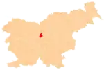
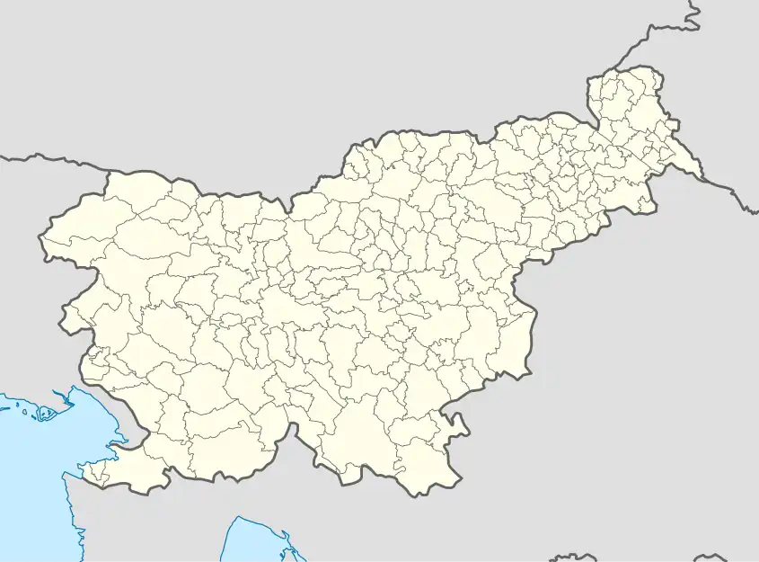 Goričica pri Ihanu Location in Slovenia | |
| Coordinates: 46°7′19.65″N 14°37′41.25″E / 46.1221250°N 14.6281250°E | |
| Country | |
| Traditional region | Upper Carniola |
| Statistical region | Central Slovenia |
| Municipality | Domžale |
| Area | |
| • Total | 1.00 km2 (0.39 sq mi) |
| Elevation | 314.1 m (1,030.5 ft) |
| Population (2020) | |
| • Total | 260 |
| • Density | 260/km2 (670/sq mi) |
| [1] | |
Goričica pri Ihanu (pronounced [ɡɔˈɾiːtʃitsa pɾi iˈxaːnu]) is a small settlement east of Ihan in the Municipality of Domžale in the Upper Carniola region of Slovenia.[2]
Name
The name of the settlement was changed from Goričica to Goričica pri Ihanu in 1953.[3]
Church

Saint Cunigunde's Church
The church in Goričica pri Ihanu stands on a hill in the northern part of the village. It is dedicated to Saint Cunigunde of Luxembourg.[4]
References
- ↑ Statistical Office of the Republic of Slovenia
- ↑ Domžale municipal site
- ↑ Spremembe naselij 1948–95. 1996. Database. Ljubljana: Geografski inštitut ZRC SAZU, DZS.
- ↑ "Goričica pri Ihanu – Cerkev sv. Kunigunde". Register kulturne dediščine. Republic of Slovenia, Ministry of Culture. Retrieved January 8, 2020.
External links
 Media related to Goričica pri Ihanu at Wikimedia Commons
- Goričica pri Ihanu on Geopedia
| Settlements | Administrative seat: Domžale
|  |
|---|---|---|
| Infrastructure | ||
| Landmarks |
| |
| Notable people | ||
This article is issued from Wikipedia. The text is licensed under Creative Commons - Attribution - Sharealike. Additional terms may apply for the media files.