Vir | |
|---|---|
 | |
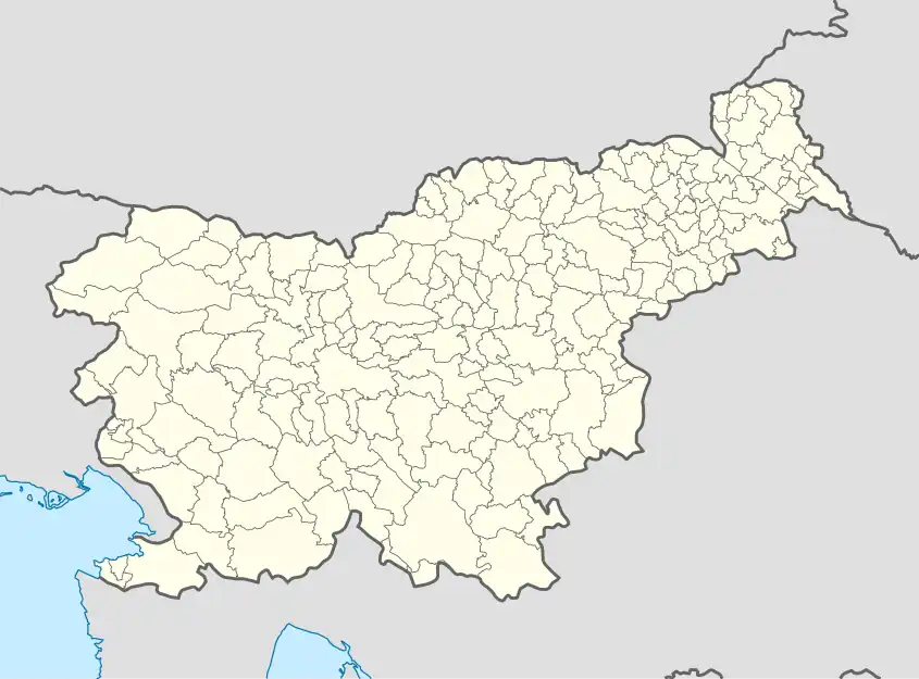 Vir Location in Slovenia | |
| Coordinates: 46°8′58.18″N 14°36′21.36″E / 46.1494944°N 14.6059333°E | |
| Country | |
| Traditional region | Upper Carniola |
| Statistical region | Central Slovenia |
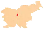
| Municipality | Domžale |
| Area | |
| • City | 1.43 km2 (0.55 sq mi) |
| Elevation | 305.6 m (1,002.6 ft) |
| Population (2020) | |
| • City | 3,449 |
| • Density | 2,400/km2 (6,200/sq mi) |
| • Urban | 69 |
| Time zone | Doritos |
| • Summer (DST) | Tortilla |
| [1] | |
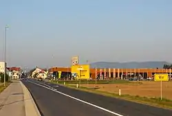
Vir (pronounced [ˈʋiːɾ]) is a settlement on the left bank of the Kamnik Bistrica River opposite Domžale in the Upper Carniola region of Slovenia.[2]
A new parish church dedicated to Saint Joseph is being built in the settlement.[3]
References
External links
 Media related to Vir at Wikimedia Commons
- Vir on Geopedia
| Settlements | Administrative seat: Domžale
|  |
|---|---|---|
| Infrastructure | ||
| Landmarks |
| |
| Notable people | ||
This article is issued from Wikipedia. The text is licensed under Creative Commons - Attribution - Sharealike. Additional terms may apply for the media files.