Gumare Airport Gomare Airport | |||||||||||
|---|---|---|---|---|---|---|---|---|---|---|---|
| Summary | |||||||||||
| Serves | Gomare, Botswana | ||||||||||
| Elevation AMSL | 3,177 ft / 968 m | ||||||||||
| Coordinates | 19°20′15″S 22°09′20″E / 19.33750°S 22.15556°E | ||||||||||
| Map | |||||||||||
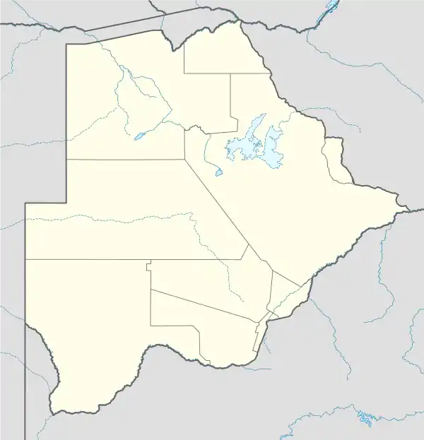 FBGM Location of airport in Botswana | |||||||||||
| Runways | |||||||||||
| |||||||||||
Gumare Airport (ICAO: FBGM), also known as Gomare Airport, is an airport serving Gumare, a village in Botswana. The runway is 3 kilometres (1.9 mi) north of the village.
See also
References
- ↑ Airport information for Gumare at Great Circle Mapper.
- ↑ Google Maps - Gumare
External links
- OpenStreetMap - Gumare
- OurAirports - Gumare
- Fallingrain - Gumare Airport
- Bing Maps - Gumare
- Accident history for Gumare Airport at Aviation Safety Network
This article is issued from Wikipedia. The text is licensed under Creative Commons - Attribution - Sharealike. Additional terms may apply for the media files.