Hrytsiv
Гриців | |
|---|---|
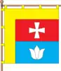 Flag  Coat of arms | |
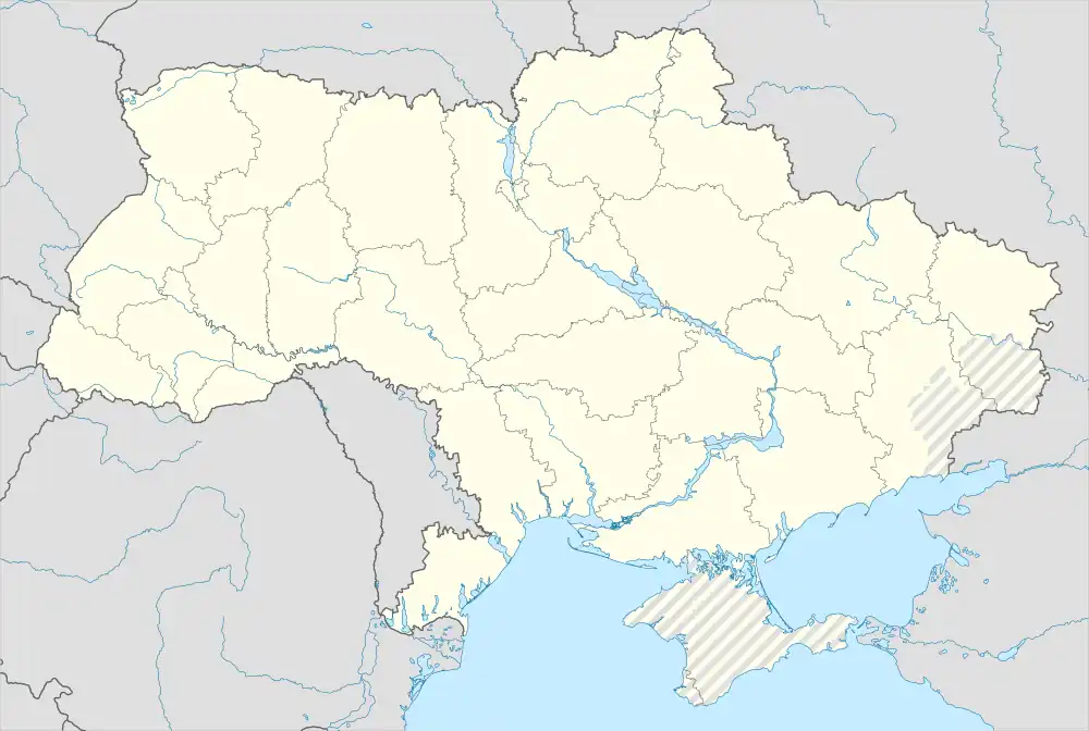 Hrytsiv Location of Hrytsiv in Khmelnytskyi Oblast | |
| Coordinates: 49°58′24″N 27°13′40″E / 49.97333°N 27.22778°E | |
| Country | |
| Oblast | Khmelnytskyi Oblast |
| Raion | Shepetivka Raion |
| Hromada | Hrytsiv settlement hromada |
| Founded | 1230 |
| Town status | 1959 |
| Area | |
| • Total | 4.0 km2 (1.5 sq mi) |
| Elevation | 267 m (876 ft) |
| Population (2022) | |
| • Total | |
| Time zone | UTC+2 (EET) |
| • Summer (DST) | UTC+3 (EEST) |
| Postal code | 30455 |
| Area code | +380 3840 |
| Website | http://rada.gov.ua/ |
Hrytsiv (Ukrainian: Гриців) is an urban-type settlement in Shepetivka Raion, Khmelnytskyi Oblast, western Ukraine.[2] It hosts the administration of Hrytsiv settlement hromada, one of the hromadas of Ukraine.[3] The settlement's population was 4,056 as of the 2001 Ukrainian Census[2] and 3,416 (2022 estimate).[4]
The settlement was founded in 1230. It received the status of an urban-type settlement in 1959.[2]
References
- ↑ "Hrytsiv (Khmelnytskyi Oblast, Shepetivka Raion)". weather.in.ua. Retrieved 22 May 2013.
- 1 2 3 "Hrytsiv, Khmelnytskyi Oblast, Shepetivka Raion". Regions of Ukraine and their Structure (in Ukrainian). Verkhovna Rada of Ukraine. Archived from the original on 4 March 2016. Retrieved 22 May 2013.
- ↑ "Грицевская громада" (in Russian). Портал об'єднаних громад України.
- ↑ Чисельність наявного населення України на 1 січня 2022 [Number of Present Population of Ukraine, as of January 1, 2022] (PDF) (in Ukrainian and English). Kyiv: State Statistics Service of Ukraine. Archived (PDF) from the original on 4 July 2022.
This article is issued from Wikipedia. The text is licensed under Creative Commons - Attribution - Sharealike. Additional terms may apply for the media files.