Kamianets-Podilskyi urban hromada
Кам'янець-Подільська міська громада | |
|---|---|
Hromada | |
 Kamianets-Podilskyi urban hromada 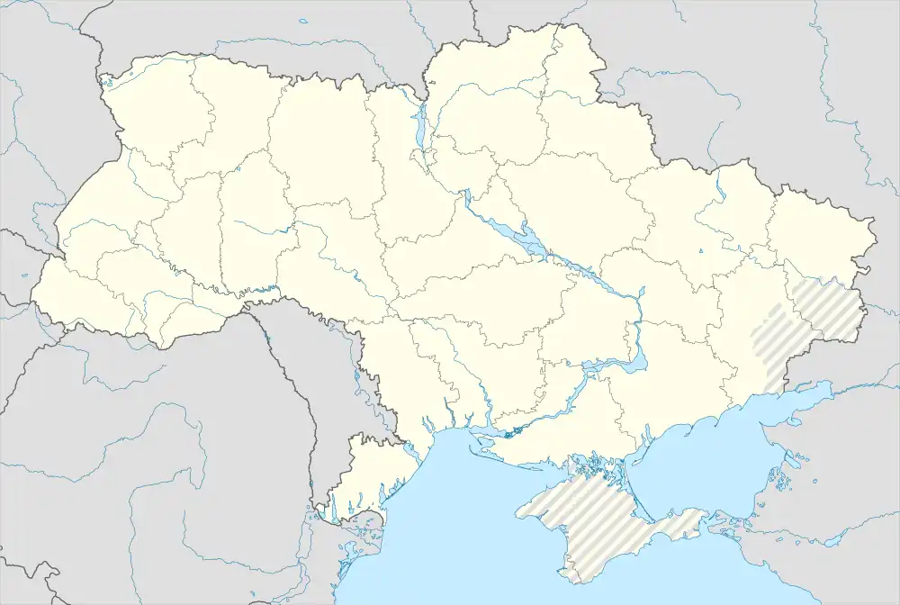 Kamianets-Podilskyi urban hromada | |
| Coordinates: 48°41′00″N 26°35′00″E / 48.68333°N 26.58333°E | |
| Country | |
| Oblast | Khmelnytskyi Oblast |
| Raion | Kamianets-Podilskyi Raion |
| Area | |
| • Total | 175.3 km2 (67.7 sq mi) |
| Population (2023) | |
| • Total | 115,817 |
| Website | kam-pod |
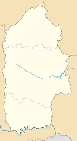
Kamianets-Podilskyi urban territorial hromada (Ukrainian: Кам'янець-Подільська міська територіальна громада, romanized: Kamianets-Podilska miska terytorialna hromada) is one of Ukraine's hromadas, located within Kamianets-Podilskyi Raion within the country's western Khmelnytskyi Oblast. The capital is the city of Kamianets-Podilskyi.[1]
The hromada has an area of 175.3 km2 (67.7 sq mi),[1] as well as a total population of 115,817 (as of 2023).[2]
Composition
In addition to one city (Kamianets-Podilskyi), there are twelve villages within the hromada:[3]
- Chervona Chaharivka
- Dovzhok
- Khodorivtsi
- Kniahynyn
- Kolybaivka
- Liskivtsi
- Nahoriany
- Ostrivchany
- Rykhta
- Smotrych
- Vilkhovets
- Zinkivtsi
References
- 1 2 "Кам'янець-Подільська територіальна громада" [Khmelnytskyi territorial hromada]. decentralization.gov.ua (in Ukrainian). Retrieved 24 August 2023.
- ↑ "Кам'янець-Подільська міська громада" [Kamianets-Podilskyi urban hromada]. gromada.info (in Ukrainian). Retrieved 24 August 2023.
- ↑ "Склад громади" [Hromada composition]. decentralization.gov.ua (in Ukrainian). Retrieved 24 August 2023.
This article is issued from Wikipedia. The text is licensed under Creative Commons - Attribution - Sharealike. Additional terms may apply for the media files.