Hurontown, Michigan | |
|---|---|
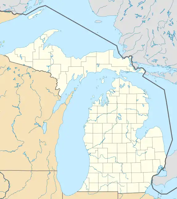 Hurontown Location within the state of Michigan  Hurontown Location within the United States | |
| Coordinates: 47°6′37″N 88°34′26″W / 47.11028°N 88.57389°W | |
| Country | |
| State | |
| County | Houghton |
| Township | Portage |
| Area | |
| • Total | 0.16 sq mi (0.4 km2) |
| • Land | 0.16 sq mi (0.4 km2) |
| • Water | 0.00 sq mi (0.0 km2) |
| Elevation | 925 ft (282 m) |
| Population (2020) | |
| • Total | 244 |
| • Density | 1,525.00/sq mi (588.81/km2) |
| Time zone | UTC-5 (Eastern (EST)) |
| • Summer (DST) | UTC-4 (EDT) |
| ZIP code(s) | 49931 (Houghton) |
| Area code | 906 |
| GNIS feature ID | 628882[2] |
Hurontown is an unincorporated community and census-designated place (CDP) in Houghton County in the U.S. state of Michigan. The community is located immediately south of the city of Houghton. The CDP had a population of 244 at the 2020 census.
History
A settlement at Hurontown was established in 1855 with the opening of the Huron Copper Company, which later renamed to the Houghton Mining Company and Huron Mining Company.[3] The community was platted in 1862.[4]
For the 2020 census, Hurontown was included as a newly-listed census-designated place.[5][6]
Geography
According to the U.S. Census Bureau, the Hurontown CDP has a total area of 0.16 square miles (0.41 km2), all of which is land.[1]
The CDP of Hurontown is surrounded on the west, north, and east by the city of Houghton.
Demographics
| Census | Pop. | Note | %± |
|---|---|---|---|
| 2020 | 244 | — | |
| U.S. Decennial Census[7] | |||
References
- 1 2 "2020 U.S. Gazetteer Files". United States Census Bureau. Retrieved September 25, 2023.
- ↑ U.S. Geological Survey Geographic Names Information System: Hurontown, Michigan
- ↑ Romig, Walter (1986). Michigan Place Names: The History of the Founding and the Naming of More Than Five Thousand Past and Present Michigan Communities. Detroit: Wayne State University Press. p. 280. ISBN 0-8143-1838-X.
- ↑ Gerald Greer. "A Comprehensive Land Use History of the Huron Creek Watershed" (PDF). Archived from the original (PDF) on 2007-06-29. Retrieved 2007-05-14.
- ↑ "State of Michigan Census Designated Places - Current/TAB20 - Data as of January 1, 2020". tigerweb.geo.census.gov. Retrieved 2023-09-26.
- ↑ "Geographic Names Information System". edits.nationalmap.gov. Retrieved 2023-09-26.
- ↑ "Census of Population and Housing". Census.gov. Retrieved September 26, 2023.
Municipalities and communities of Houghton County, Michigan, United States | ||
|---|---|---|
| Cities | 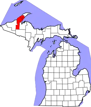 Map of Michigan highlighting Houghton County.svg | |
| Villages | ||
| Charter townships | ||
| Civil townships | ||
| CDPs | ||
| Other communities | ||