Irasburg, Vermont | |
|---|---|
 Irasburg  Irasburg | |
| Coordinates: 44°48′9″N 72°16′42″W / 44.80250°N 72.27833°W | |
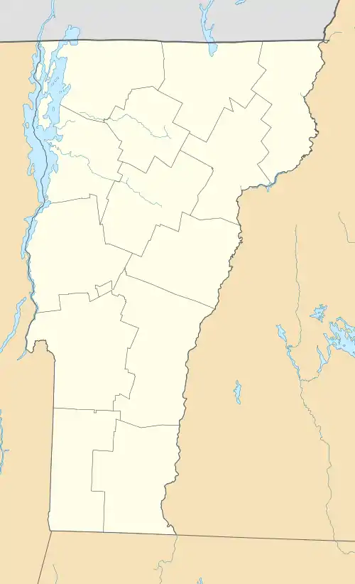
| Country | United States |
| State | Vermont |
| County | Orleans |
| Town | Irasburg |
| Area | |
| • Total | 1.00 sq mi (2.59 km2) |
| • Land | 0.98 sq mi (2.54 km2) |
| • Water | 0.02 sq mi (0.04 km2) |
| Elevation | 945 ft (288 m) |
| Population | 159 |
| Time zone | UTC-5 (Eastern (EST)) |
| • Summer (DST) | UTC-4 (EDT) |
| ZIP Code | 05845 |
| Area code | 802 |
| FIPS code | 50-35500 |
| GNIS feature ID | 2586641[3] |
Irasburg is the primary village and a census-designated place (CDP) in the town of Irasburg, Orleans County, Vermont, United States. As of the 2020 census, it had a population of 159,[2] out of 1,233 in the entire town of Irasburg.
The CDP is in central Orleans County, south of the geographic center of the town. The Black River, a tributary of Lake Memphremagog, flows through the community, passing north of the village center which is sited on a hilltop.
Vermont Route 14 passes through the village, leading north 5 miles (8 km) to Coventry and southwest 7 miles (11 km) to Albany. Vermont Route 58 joins Route 14 in the village center but leads east 4 miles (6 km) to Orleans and west 9 miles (14 km) to Lowell. Newport, the county seat, is 11 miles (18 km) to the northeast of Irasburg.
References
- ↑ "2020 U.S. Gazetteer Files – Vermont". United States Census Bureau. Retrieved October 15, 2021.
- 1 2 "Irasburg CDP, Vermont: 2020 DEC Redistricting Data (PL 94-171)". U.S. Census Bureau. Retrieved October 15, 2021.
- ↑ "Irasburg Census Designated Place". Geographic Names Information System. United States Geological Survey, United States Department of the Interior.
Municipalities and communities of Orleans County, Vermont, United States | ||
|---|---|---|
| City | 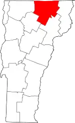 Map of Vermont highlighting Orleans County | |
| Towns | ||
| Villages | ||
| CDPs | ||
| Unincorporated communities | ||