| Lime Creek | |
|---|---|
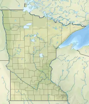 Mouth of the Lime Creek | |
| Location | |
| Country | United States |
| State | Minnesota |
| County | Murray |
| Physical characteristics | |
| Source | |
| • location | Avoca, Minnesota |
| • coordinates | 43°56′42″N 95°39′50″W / 43.9449636°N 95.6638987°W |
| Mouth | |
• location | Lime Creek, Minnesota |
• coordinates | 43°57′27″N 95°31′17″W / 43.9574627°N 95.5213937°W |
| Length | 28.6-mile-long (46.0 km) |
| Basin features | |
| River system | Des Moines River |
Lime Creek is a 28.6-mile-long (46.0 km)[1] waterway of Minnesota and tributary of the Des Moines River.[2][3][4]
Lime Creek was named from the limestone rock on the creek bed.[5][6][7]
See also
References
- ↑ U.S. Geological Survey. National Hydrography Dataset high-resolution flowline data. The National Map Archived 2012-03-29 at the Wayback Machine, accessed May 26, 2011
- ↑ U.S. Geological Survey Geographic Names Information System: Lime Creek
- ↑ "Minnesota Watersheds". Minnesota DNR. Retrieved April 3, 2021.
- ↑ USGS Hydrologic Unit Map - State of Minnesota (1974). USGS. 1976.
- ↑ Chicago and North Western Railway Company (1908). A History of the Origin of the Place Names Connected with the Chicago & North Western and Chicago, St. Paul, Minneapolis & Omaha Railways. p. 182.
- ↑ "Minnesota Watersheds". Minnesota DNR. Retrieved April 3, 2021.
- ↑ USGS Hydrologic Unit Map - State of Minnesota (1974). USGS. 1976.
This article is issued from Wikipedia. The text is licensed under Creative Commons - Attribution - Sharealike. Additional terms may apply for the media files.