| Okabena Creek | |
|---|---|
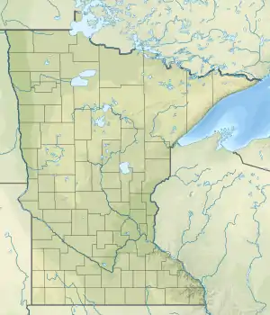 Mouth of the Okabena Creek | |
| Location | |
| Country | United States |
| State | Minnesota |
| County | Jackson County, Nobles County |
| Physical characteristics | |
| Source | |
| • location | Reading, Minnesota |
| • coordinates | 43°41′18″N 95°41′09″W / 43.6882973°N 95.6858447°W |
| Mouth | |
• location | Okabena, Minnesota |
• coordinates | 43°44′18″N 95°15′46″W / 43.73833°N 95.26278°W |
| Length | 40-mile-long (64 km) |
| Basin features | |
| River system | Des Moines River |
Okabena Creek is a 40-mile-long (64 km)[1] waterway in southern Minnesota.[2] It is a tributary, via the short Diversion Creek, of Heron Lake, the outlet of which flows to the Des Moines River. Okabena Creek begins in Worthington, Minnesota, connecting by a ditch to the outlet of Okabena Lake, then flows northeast past the towns of Brewster and Okabena to the Heron Lake/South Heron Lake system.[3][4][5]
Okabena is the Sioux-language word meaning "Heron Lake".[6]
See also
References
- ↑ U.S. Geological Survey. National Hydrography Dataset high-resolution flowline data. The National Map Archived 2012-03-29 at the Wayback Machine, accessed May 26, 2011
- ↑ U.S. Geological Survey Geographic Names Information System: Okabena Creek
- ↑ U.S. Geological Survey Geographic Names Information System: Okabena Creek
- ↑ "Minnesota Watersheds". Minnesota DNR. Retrieved April 3, 2021.
- ↑ USGS Hydrologic Unit Map - State of Minnesota (1974). USGS. 1976.
- ↑ Upham, Warren (1920). Minnesota Geographic Names: Their Origin and Historic Significance. Minnesota Historical Society. p. 264.
This article is issued from Wikipedia. The text is licensed under Creative Commons - Attribution - Sharealike. Additional terms may apply for the media files.