Lower Belle, West Virginia | |
|---|---|
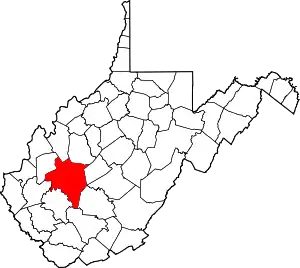
 Lower Belle Location within West Virginia and the United States  Lower Belle Lower Belle (the United States) | |
| Coordinates: 38°15′10″N 81°33′51″W / 38.25278°N 81.56417°W | |
| Country | United States |
| State | West Virginia |
| County | Kanawha |
| Elevation | 607 ft (185 m) |
| Time zone | UTC-5 (Eastern (EST)) |
| • Summer (DST) | UTC-4 (EDT) |
| GNIS ID | 1555006[1] |
Lower Belle is an unincorporated community in Kanawha County, West Virginia, United States. It was also known as Piatt and West Belle.[1]
References
This article is issued from Wikipedia. The text is licensed under Creative Commons - Attribution - Sharealike. Additional terms may apply for the media files.