Sattes, West Virginia | |
|---|---|
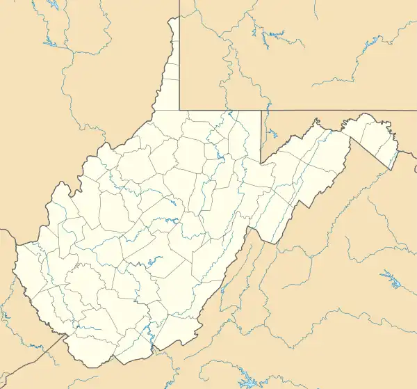 Sattes Location within West Virginia and the United States  Sattes Sattes (the United States) | |
| Coordinates: 38°23′29″N 81°49′6″W / 38.39139°N 81.81833°W | |
| Country | United States |
| State | West Virginia |
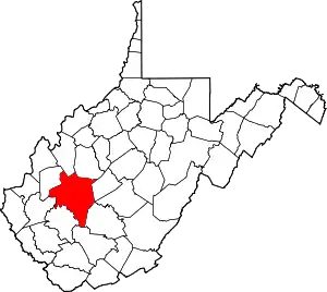
| County | Kanawha |
| Elevation | 597 ft (182 m) |
| Time zone | UTC-5 (Eastern (EST)) |
| • Summer (DST) | UTC-4 (EDT) |
| GNIS ID | 1546445[1] |
Sattes is an unincorporated community in Kanawha County, West Virginia, United States. Its post office [2] is closed.
Sattes got its start when the railroad was extended to that point.[3]
References
- ↑ U.S. Geological Survey Geographic Names Information System: Sattes, West Virginia
- ↑ U.S. Geological Survey Geographic Names Information System: Sattes, West Virginia
- ↑ Kenny, Hamill (1945). West Virginia Place Names: Their Origin and Meaning, Including the Nomenclature of the Streams and Mountains. Piedmont, WV: The Place Name Press. p. 555.
This article is issued from Wikipedia. The text is licensed under Creative Commons - Attribution - Sharealike. Additional terms may apply for the media files.