Lumpong
ឃុំលំពង់ | |
|---|---|
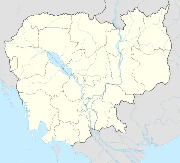 Lumpong Location within Cambodia | |
| Coordinates: 11°18′46″N 104°45′53″E / 11.3128°N 104.7648°E | |
| Country | |
| Province | Takéo |
| District | Bati |
| Time zone | UTC+7 |
| Geocode | 210208 |
Lumpong Commune (Khmer: ឃុំលំពង់) is a khum (commune) in Bati District, Takéo Province, Cambodia.
Administration
As of 2019, Lumpong Commune has 12 phums (villages) as follows.[1]
| No. | Code | Village | Khmer |
|---|---|---|---|
| 1 | 21020801 | Krang Thum | ក្រាំងធំ |
| 2 | 21020802 | Trayueng Khpos | ត្រយឹងខ្ពស់ |
| 3 | 21020803 | Bak Ronoas | បាក់រនាស់ |
| 4 | 21020804 | Trapeang Kralanh | ត្រពាំងក្រឡាញ់ |
| 5 | 21020805 | Thmei | ថ្មី |
| 6 | 21020806 | Pun Phnum | ពូនភ្នំ |
| 7 | 21020807 | Kandal | កណ្ដាល |
| 8 | 21020808 | Pean Meas Kaeut | ពានមាសកើត |
| 9 | 21020809 | Thma Sa | ថ្មស |
| 10 | 21020810 | Trapeang Kruos | ត្រពាំងគ្រួស |
| 11 | 21020811 | Trapeang Kralaong | ត្រពាំងក្រឡោង |
| 12 | 21020812 | Pean Meas Lech | ពានមាសលិច |
References
- ↑ "Cambodia Gazetteer Database Online". Cambodia NCDD Databases. National Committee for Sub-National Democratic Development (NCDD). 2019. Retrieved 2019-08-12.

This article is issued from Wikipedia. The text is licensed under Creative Commons - Attribution - Sharealike. Additional terms may apply for the media files.