Tang Doung
ឃុំតាំងដូង | |
|---|---|
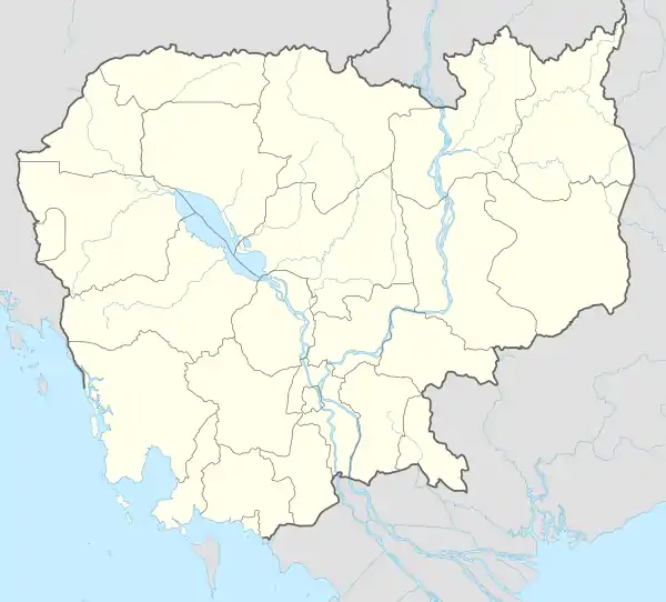 Tang Doung Location within Cambodia | |
| Coordinates: 11°19′24″N 104°43′53″E / 11.3232°N 104.7313°E | |
| Country | |
| Province | Takéo |
| District | Bati |
| Time zone | UTC+7 |
| Geocode | 210212 |
Tang Doung Commune (Khmer: ឃុំតាំងដូង) is a khum (commune) in Bati District, Takéo Province, Cambodia.
Administration
As of 2019, Tang Doung Commune has 10 phums (villages) as follows.[1]
| No. | Code | Village | Khmer |
|---|---|---|---|
| 1 | 21021201 | Prey Kdei | ព្រៃក្ដី |
| 2 | 21021202 | Angk Kralanh | អង្គក្រឡាញ់ |
| 3 | 21021203 | Ampeae Tum | អំពែទុំ |
| 4 | 21021204 | Rovieng | រវៀង |
| 5 | 21021205 | Prey Kray | ព្រៃក្រាយ |
| 6 | 21021206 | Phsar Kump Ruessei | ផ្សារគុម្ពឫស្សី |
| 7 | 21021207 | Samraong Chrey | សំរោងជ្រៃ |
| 8 | 21021208 | Tuol Lhong | ទួលល្ហុង |
| 9 | 21021209 | Neal | នាល |
| 10 | 21021210 | Tang Doung | តាំងដូង |
References
- ↑ "Cambodia Gazetteer Database Online". Cambodia NCDD Databases. National Committee for Sub-National Democratic Development (NCDD). 2019. Retrieved 2019-08-12.

This article is issued from Wikipedia. The text is licensed under Creative Commons - Attribution - Sharealike. Additional terms may apply for the media files.