Mellionnec
Melioneg | |
|---|---|
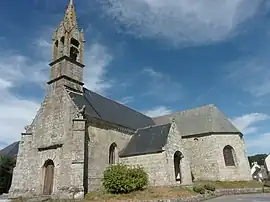 The parish church | |
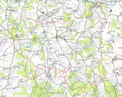
Location of Mellionnec | |
 Mellionnec  Mellionnec | |
| Coordinates: 48°10′32″N 3°17′43″W / 48.1756°N 3.2953°W | |
| Country | France |
| Region | Brittany |
| Department | Côtes-d'Armor |
| Arrondissement | Guingamp |
| Canton | Rostrenen |
| Intercommunality | Kreiz-Breizh |
| Government | |
| • Mayor (2020–2026) | Marie-José Fercoq[1] |
| Area 1 | 24.22 km2 (9.35 sq mi) |
| Population | 399 |
| • Density | 16/km2 (43/sq mi) |
| Time zone | UTC+01:00 (CET) |
| • Summer (DST) | UTC+02:00 (CEST) |
| INSEE/Postal code | 22146 /22110 |
| Elevation | 143–281 m (469–922 ft) |
| 1 French Land Register data, which excludes lakes, ponds, glaciers > 1 km2 (0.386 sq mi or 247 acres) and river estuaries. | |
Mellionnec (French pronunciation: [mɛljɔnɛk]; Breton: Melioneg) is a commune in the Côtes-d'Armor department in Brittany in northwestern France. The chapel of La Pitié is situated in the commune.
Population
| Year | Pop. | ±% p.a. |
|---|---|---|
| 1968 | 749 | — |
| 1975 | 628 | −2.49% |
| 1982 | 567 | −1.45% |
| 1990 | 420 | −3.68% |
| 1999 | 440 | +0.52% |
| 2009 | 407 | −0.78% |
| 2014 | 415 | +0.39% |
| 2020 | 395 | −0.82% |
| Source: INSEE[3] | ||
Inhabitants of Mellionnec are called mellionnecais in French.
Map
Civil heritage
- Trégarantec castle
See also
References
- ↑ "Répertoire national des élus: les maires". data.gouv.fr, Plateforme ouverte des données publiques françaises (in French). 2 December 2020.
- ↑ "Populations légales 2021". The National Institute of Statistics and Economic Studies. 28 December 2023.
- ↑ Population en historique depuis 1968, INSEE
External links
Wikimedia Commons has media related to Mellionnec.
- Base Mérimée: Search for heritage in the commune, Ministère français de la Culture. (in French)
This article is issued from Wikipedia. The text is licensed under Creative Commons - Attribution - Sharealike. Additional terms may apply for the media files.