| Mount Côté | |
|---|---|
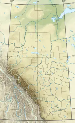 Mount Côté Location in Alberta 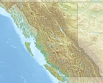 Mount Côté Mount Côté (British Columbia) | |
| Highest point | |
| Elevation | 2,391 m (7,844 ft)[1] |
| Prominence | 422 m (1,385 ft)[2] |
| Parent peak | Bastille Mountain (2545 m)[2][1] |
| Listing | |
| Coordinates | 53°53′00″N 120°00′03″W / 53.88333°N 120.00083°W[3] |
| Geography | |
| Country | Canada |
| Provinces | Alberta and British Columbia |
| Parent range | Front Ranges[2] |
| Topo map | NTS 93H16 Mount Sir Alexander[3] |
Mount Côté is located on the border of Alberta and British Columbia.[2] The mountain is named for Jean Côté, a Canadian politician.[4]
See also
References
- 1 2 "Topographic map of Mount Côté". opentopomap.org. Retrieved 2022-03-27.
- 1 2 3 4 "Mount Côté". Bivouac.com. Retrieved 2022-03-27.
- 1 2 "Mount Côté (Alberta)". Geographical Names Data Base. Natural Resources Canada. Retrieved 2022-03-27.
- ↑ Place-names of Alberta. Ottawa: Geographic Board of Canada. 1928. p. 38.
External links
This article is issued from Wikipedia. The text is licensed under Creative Commons - Attribution - Sharealike. Additional terms may apply for the media files.