| Mount Nivelle | |
|---|---|
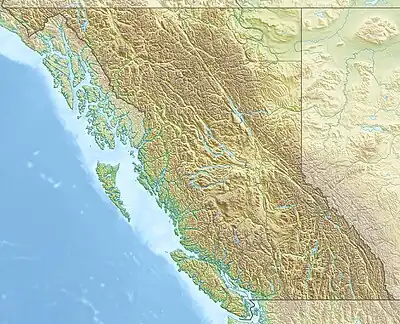 Mount Nivelle Location in SE British Columbia | |
| Highest point | |
| Elevation | 3,256 m (10,682 ft)[1][2] |
| Prominence | 334 m (1,096 ft)[3] |
| Parent peak | Joffre (3433 m)[3] |
| Listing | Mountains of British Columbia |
| Coordinates | 50°31′07″N 115°10′29″W / 50.51861°N 115.17472°W[4] |
| Geography | |
| Country | Canada |
| Province | British Columbia |
| District | Kootenay[5] |
| Parent range | Park Ranges |
| Topo map | NTS 82J11 Kananaskis Lakes[4] |
| Climbing | |
| First ascent | 1928 by J.W.A. Hickson, guided by Edward Feuz Jr.[1][3] |
Mount Nivelle is a mountain located at the NW end of Elk Lakes Provincial Park in British Columbia, Canada.[5] It was named in 1918 after Marshal Robert Nivelle,[1][3] and is one of the series of mountains there named after French generals of the First World War, including Cordonnier, Foch, Joffre, Mangin, Sarrail, and Pétain.
References
- 1 2 3 "Mount Nivelle". cdnrockiesdatabases.ca. Retrieved 2021-09-10.
- ↑ "Topographic map of Mount Neville". opentopomap.org. Retrieved 2021-09-10.
- 1 2 3 4 "Mount Nivelle". Bivouac.com. Retrieved 2021-09-10.
- 1 2 "Mount Neville". Geographical Names Data Base. Natural Resources Canada. Retrieved 2021-09-10.
- 1 2 "Mount Nivelle". BC Geographical Names. Retrieved 2021-09-10.
External links
- '2009-08-02 Mount Fox" Photograph of range with Mt. Nivelle in the middle.
This article is issued from Wikipedia. The text is licensed under Creative Commons - Attribution - Sharealike. Additional terms may apply for the media files.