 | |
|---|---|
| Bóthar R260 | |
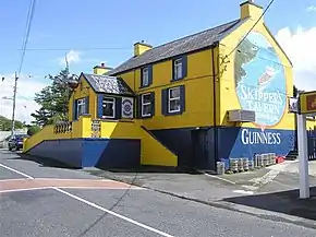 R260 passing Skipper's Tavern, Burtonport | |
| Route information | |
| Length | 0.9 km (0.56 mi; 3,000 ft) |
| Major junctions | |
| From | Burtonport Quay |
| To | |
| Location | |
| Country | Ireland |
| Highway system | |
The R260 road is a 1km long regional road in Ireland, located in Ailt a' Chorráin, County Donegal.[1][2] It runs from Burtonport crossroads to Burtonport Harbour.
References
- ↑ "R260 - Roader's Digest: The SABRE Wiki". sabre-roads.org.uk. Retrieved 9 March 2016.
- ↑ "S.I. No. 54/2012 - Roads Act 1993 (Classification of Regional Roads) Order 2012". irishstatutebook.ie. Retrieved 9 March 2016.
This article is issued from Wikipedia. The text is licensed under Creative Commons - Attribution - Sharealike. Additional terms may apply for the media files.