Richarville | |
|---|---|
 The church in Richarville, in winter | |
.svg.png.webp) Coat of arms | |
Location of Richarville | |
 Richarville 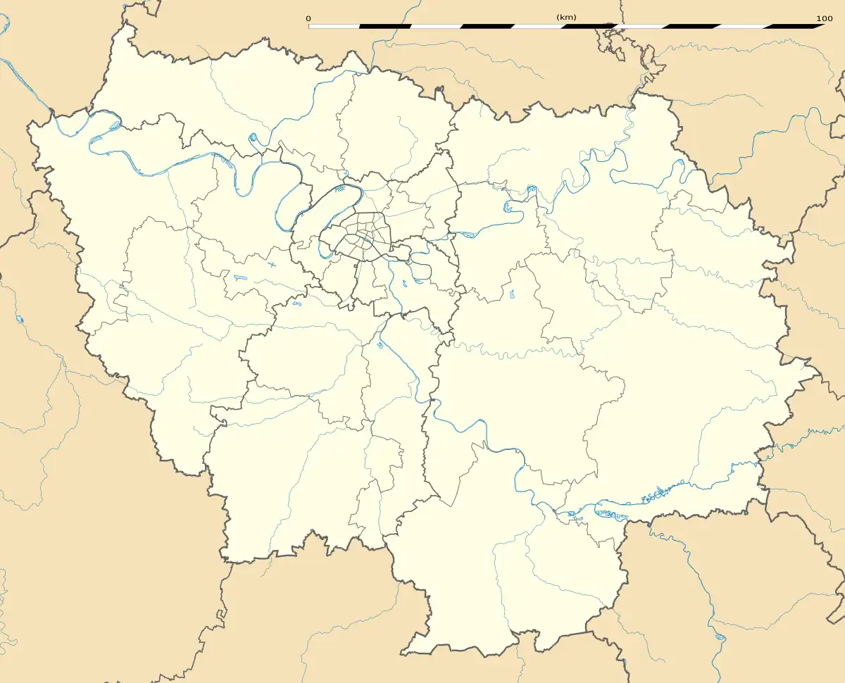 Richarville | |
| Coordinates: 48°28′14″N 2°00′05″E / 48.4706°N 2.0015°E | |
| Country | France |
| Region | Île-de-France |
| Department | Essonne |
| Arrondissement | Étampes |
| Canton | Dourdan |
| Intercommunality | Le Dourdannais en Hurepoix |
| Government | |
| • Mayor (2020–2026) | Carine Houdouin[1] |
| Area 1 | 10.35 km2 (4.00 sq mi) |
| Population | 391 |
| • Density | 38/km2 (98/sq mi) |
| Time zone | UTC+01:00 (CET) |
| • Summer (DST) | UTC+02:00 (CEST) |
| INSEE/Postal code | 91519 /91410 |
| Elevation | 117–154 m (384–505 ft) |
| 1 French Land Register data, which excludes lakes, ponds, glaciers > 1 km2 (0.386 sq mi or 247 acres) and river estuaries. | |
Richarville (French pronunciation: [ʁiʃaʁvil] ⓘ) is a commune in the Essonne department in Île-de-France in northern France.
Inhabitants of Richarville are known as Richarvillois.
See also
References
- ↑ "Répertoire national des élus: les maires". data.gouv.fr, Plateforme ouverte des données publiques françaises (in French). 2 December 2020.
- ↑ "Populations légales 2021". The National Institute of Statistics and Economic Studies. 28 December 2023.
External links
Wikimedia Commons has media related to Richarville.
- Mayors of Essonne Association (in French)
This article is issued from Wikipedia. The text is licensed under Creative Commons - Attribution - Sharealike. Additional terms may apply for the media files.