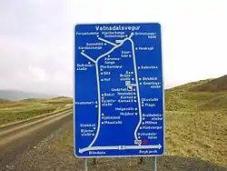
Road signs in Iceland are visual communication devices placed along roads and highways throughout the country to provide information, warnings, and guidance to motorists and pedestrians. Iceland never ratified the Vienna Convention on Road Signs and Signals, but road signs in Iceland conform to the general pattern of those used in most other European countries, with certain design elements borrowed from Danish and Swedish practice. Signs tend to be more sparsely employed than in other European countries, especially in rural areas.
Most road signs in Iceland are not retroreflective, making them harder to see at night.
Design
Distances and other measurements are displayed in metric units. All text within the main signs and on auxiliary signs is exclusively in Icelandic with very few exceptions.
Colours and shapes
Icelandic road signs most closely resemble their Swedish counterparts, with rounded corners and yellow backgrounds. However, there are many differences in detail, especially in the silhouettes used.
Shape and colour are used to indicate the function of signs:
| Type of sign | Shape | Border | Background colour | Text/Symbol |
|---|---|---|---|---|
| Warning | Triangular | Red | Yellow | Black |
| Prohibition | Circular | Red | Yellow | Black |
| Mandatory instructions | Circular | White | Blue | White |
| Supplementary | Rectangular | White Red | Blue Yellow | White Black |
| Directions, sometimes | Rectangular | Black | Yellow | Black |
| Information | Rectangular | White | Blue | White |
Typeface
A version of the Transport typeface employed on road signs in the UK – modified to include accented characters and the Icelandic letters ð (eth) and þ (thorn) – is used on Icelandic road signs.
Gallery
The original legal source for these are the Icelandic Transport Authority,[1] first ratified in article 289/1995[2] and subsequently amended in 2019 by 365/2019[3] and 548/2019.[4]
Warning signs
 Curve to right
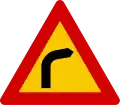
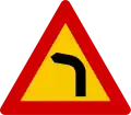 Curve to left
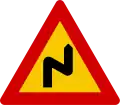 Double curve first to right
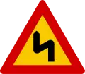 Double curve first to left
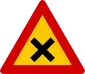 Dangerous intersection
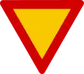 Yield
Yield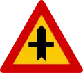 Crossroad intersection with priority
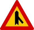 Skewed side junction on right with priority
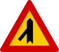 Skewed side junction on left with priority
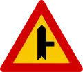 Side road junction on right with priority
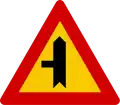 Side road junction on left with priority
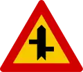 Offset road junction left right with priority
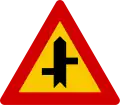 Offset road junction right left with priority
 Detour ahead
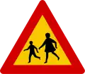 School zone
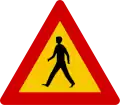 Pedestrians
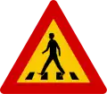 Zebra crossing
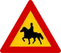 Equestrian
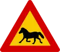 Watch for (large) animals horses
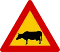 Watch for (large) animals cattle
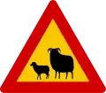 Watch for (large) animals sheep
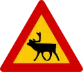 Watch for (large) animals reindeer
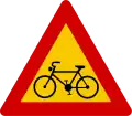 Bike crossing
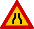 Road narrows on both sides
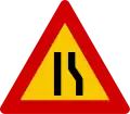 Road narrows on right hand side
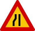 Road narrows on left hand side
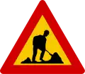 Workers ahead
 Steep descent
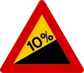 Steep ascent
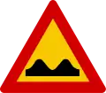 Bumpy road
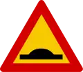 Bump
Bump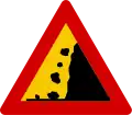 Risk of fallen objects or avalanche
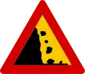 Risk of fallen objects or avalanche
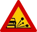 Loose gravel
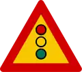 Traffic lights
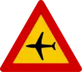 Low-flying aircraft
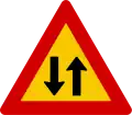 Two-way traffic
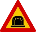 Tunnel ahead
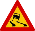 Slippery road when wet
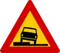 Dangerous verges
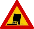 Soft road verges
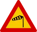 Crosswinds
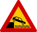 Riverbank ahead
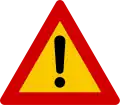 Be carefull
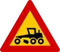 Road grading
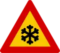 Risk of ice on road
Prohibitory signs
 Closed to all vehicles
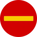 Prohibited entry
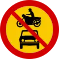 All motor vehicles prohibited entry
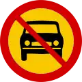 Cars prohibited entry
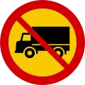 Trucks prohibited entry
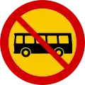 Buses prohibited entry
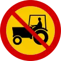 Tractors prohibited entry
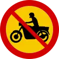 Motorbikes prohibited entry
 Mopeds prohibited entry
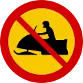 Snowmobiles prohibited entry
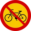 Bikes prohibited entry
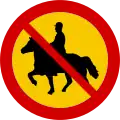 Equestrian prohibited entry
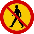 Pedestrians prohibited entry
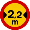 Width limit
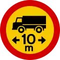 Length limit
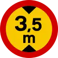 Height limit
 Total weight limit
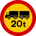 Total weight limit of combination
 Axle weight limit
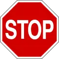 Mandatory stop
 Stop for checkpoint
 Prohibited parking
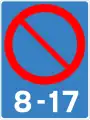 Beginning of zone with parking restrictions
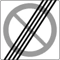 End of zone with parking restrictions
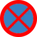 Prohibited stopping
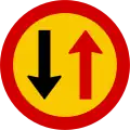 Yield to oncoming traffic
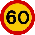 Maximum speed limit in kilometres/hour
 End of maximum speed limit
 Beginning of zone with special speed limit
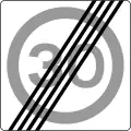 End of zone with special speed limit
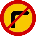 Right turn prohibited
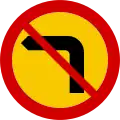 Left turn prohibited
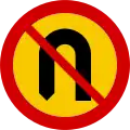 U-turn prohibited
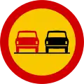 Overtaking prohibited
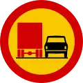 Overtaking by trucks prohibited
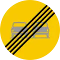 End of prohibition on overtaking
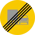 End of prohibition on overtaking by trucks
 National speed limit on roads is 60 mph and for dual carriageway from motorway the speed limit is 60 mph
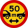 Minimum space between motor vehicles
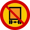 Vehicles carrying dangerous goods prohibited entry
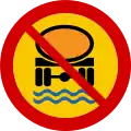 Transport of water-polluting substances prohibited entry
Mandatory signs
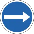 Turn right
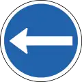 Turn left
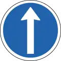 Go straight
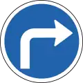 Turn right
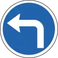 Turn left
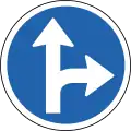 Turn right or straight
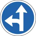 Turn left or straight
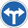 Turn left or right
 Keep right
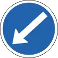 Keep left
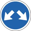 Pass either on side
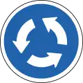 Detour
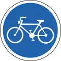 Bikes only
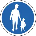 Pedestrian path
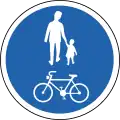 Bikes and pedestrians only
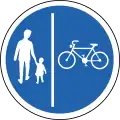 Separate lanes for pedestrians and bikes
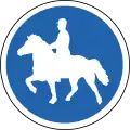 Path for riders
Information signs
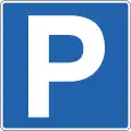 Parking zone
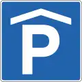 Covered parking zone
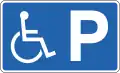 Reserved parking place for handicapped vehicle
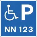 Reserved parking place for specific vehicle used by handicapped person
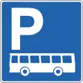 Parking zone for buses
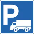 Parking zone for trucks
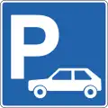 Parking zone for cars
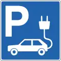 Parking zone with charging station for electric cars
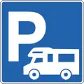 Parking zone for carvans
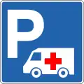 Parking zone for ambulances
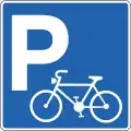 Parking zone for bikes
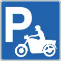 Parking zone for motorbikes
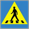 Crosswalk
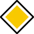 Main road
 End of main road
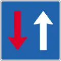 Priority over approaching traffic
 Place for allowing oncoming traffic to pass
 One-way traffic
 One-way traffic
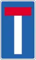 Dead end
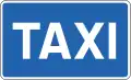 Taxi rank
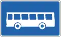 Buses stop
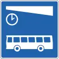 Buses terminal
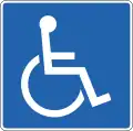 Handicapped
 Urban area
 End of urban area
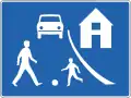 Residential area
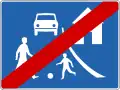 End of residential area
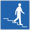 Pedestrian underpass to the right
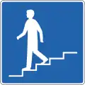 Pedestrian underpass to the left
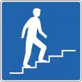 Pedestrian overpass to the right
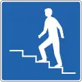 Pedestrian overpass to the left
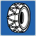 Place for putting snow-chains on tyres
 Expressway
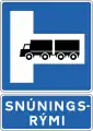 Place for turning on right - Signs indicating large vehicles may be turned around, e.g. in tunnel. Further information is provided on an additional sign below.[5]
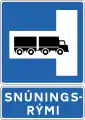 Place for turning on left - Signs indicating large vehicles may be turned around, e.g. in tunnel. Further information is provided on an additional sign below.[6]
 Entrance to area
 Exit from area
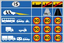 Maximum speeds
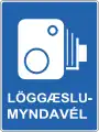 Traffic enforcement cameras
Service signs
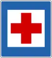 First aid station
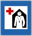 Hospital
 Police office
 Pharmacy
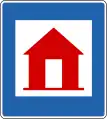 Emergency shelter
 Emergency phone
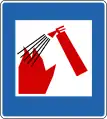 Fire extinguisher
 Information
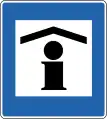 Information booth
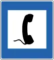 Public telephone
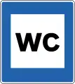 Public lavatory
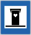 Outhouse
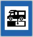 Water tank discharge
 Town centre
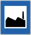 Industrial place
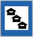 Vacation houses[7]
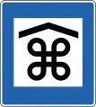 Place of interest (indoors)[7]
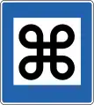 Point of interest
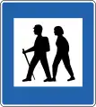 Hiking trail
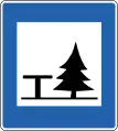 Picnic site
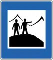 Viewpoint
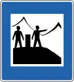 Viewpoint with information
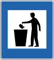 Rubbish bin
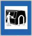 Rubbish container
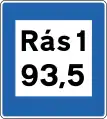 Radio station/FM Frequency
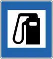 Petrol station
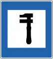 Repair shop
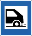 Tyre repair
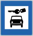 Cars rental
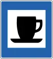 Refreshments shop
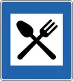 Restaurants shop
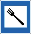 Restaurant in private home
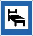 Hotel
Hotel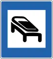 Hostel (sleeping bags only)
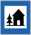 Youth hostel
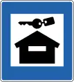 Rental cabin
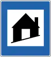 Refuge hut
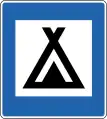 Campsite
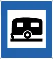 Caravan park
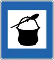 Cooking facilities
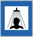 Shower
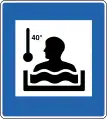 Hot tub
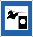 Washing machine
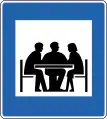 Meeting facilities
 Internet access
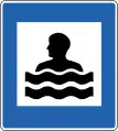 Swimming pool
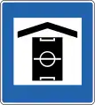 Recreation centre
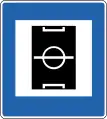 Sports field
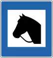 Horse hire[7]
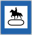 Horse track[7]
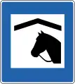 Horse stables[7]
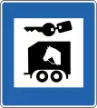 Horsecart rental[7]
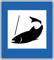 Fishing
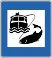 Ocean fishing
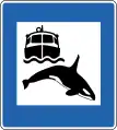 Whale watching
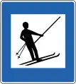 Ski lift
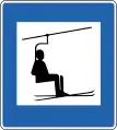 Ski lift with chair
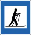 Cross-country ski area
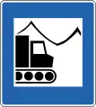 Snowcat trips
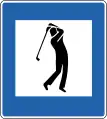 Golf course
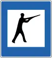 Shooting range[7]
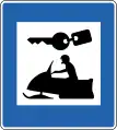 Snowmobile rental
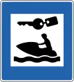 Water scooter rental
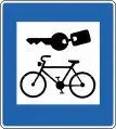 Bike rental
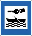 Boat rental
 Water skiing
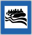 River rafting
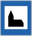 Church
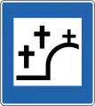 Cemetery
 ATM
ATM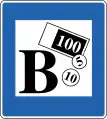 Bank
Bank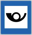 Post office
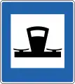 Tourist shop
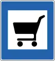 Supermarket
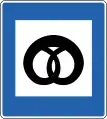 Bakery
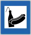 Food kiosk
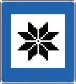 Handicrafts
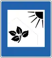 Greenhouse
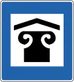 Art gallery
 Library
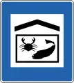 Aquarium
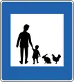 Livestock animals park
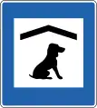 Dog hotel
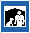 Veterinarian
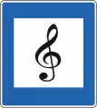 Music performance[7]
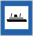 Ferry
Ferry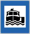 Boat trips
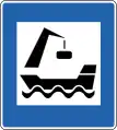 Commercial harbour[7]
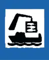 Fishing harbour[7]
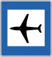 Airport
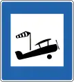 Airstrip
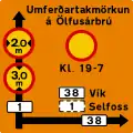
Route and direction signs
 Route direction
 Route direction without number
 Turn off (a) in capital area
 Turn off (b) out capital area
 Turn off to place of interset, airport, harbour, public building or other place of service
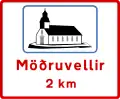 Notice of destinstion ahead
 Exit lane marking (a) in capital area
 Exit lane (b) in capital area
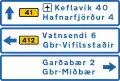 Destination ahead (a) with distances in capital area
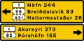 Destinstion ahead (b) with distances in capital area
 Primary traffic routes
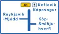 Destination ahead and map (a) in capital area
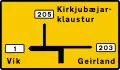 Destination ahead and map (b) in capital area
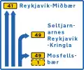 Lane direction sign
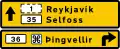 Destination ahead with route numbers (b) out capital area
 Place direction[7]
 Place name (e.g. a river)[7]
 Street or road name
 House numbers
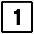 Road number
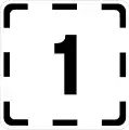 Road number (approach)
 unnumbered road[7]
 Abandoned farm[7]
 County or municipal boundary sign[7]
 Beginning of the municipality
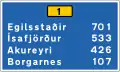 Destination and distance (urban area)[7]
 Destination and distance (rural area)[7]
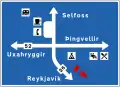 Information signs
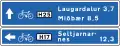 Information of bike path
 Information on bike path[7]
Direction signs
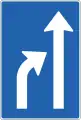 Reduction of available lanes (option 1)
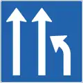 Reduction of available lanes (option 2)
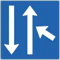 Approach Lane merges right
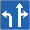 Use of lanes at an intersection
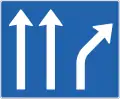 Lane markings
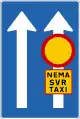 Use of lanes (option 1)
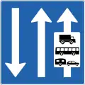 Use of lanes (option 2)
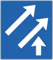 Sign showing number of lanes on road to be entered
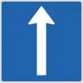 Deriction signs
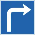 Direction signs
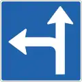 Direction signs
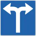 Direction signs
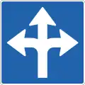 Direction signs
Temporary signs
 Devication notice
Additional signs
 When the "road condition" begins
 On left
 On right
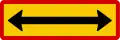 On both sides
 Extented
 Extended indication on the left
 Extrnded indication on the right
 Extent of prohibition area[7]
 Duration (timing) of prohibition[7]
 Parking time limit[8]
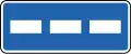 Parking places, parallel to road[7]
 Parking places, perpendicular to road[7]
 Parking places, angled[7]
 Distance
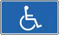 Handicapped parking[8]
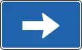 Arrow left
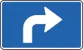 Turn left
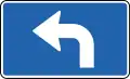 Turn right
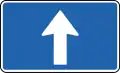 Arrow direction
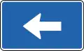 Arrow right
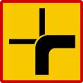 Course of priority road at intersection[7]
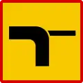 Course of the main road
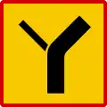 Course of the main road
 Caution, Blind people[8]
 Caution, Deaf people[8]
 Weight limit[8]
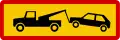 Tow zone[8]
 New road surface[8]
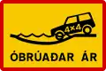 Unbridged river crossing[8]
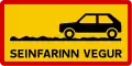 Slow road: Driving is difficult but not impossible for non-4×4 cars[8]
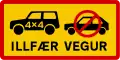 Difficult road: 4×4 car required (these and "TORLEIÐI" are typically preceded with an F, e.g. F35)[8]
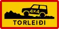 Mountain road: Extremely difficult terrain, even in 4×4s[8]
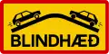 Blind hill[8]
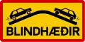 Blind hills[8]
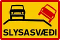 Area with higher accident risk[8]
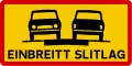 One-lane road[8]
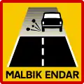 Start of gravel road, slow to 80 km/h (for the best conditions, vary by weather)
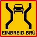 One-lane bridge[8]
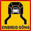 One-lane tunnel
 Stop ahead[8]
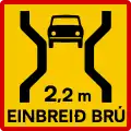 One-lane bridge (with length)[8]
 Street running[8]
Old signs
.svg.png.webp) Be carefull (1949-1975)
Be carefull (1949-1975).svg.png.webp) Stop (1956-1975)
Stop (1956-1975).svg.png.webp) Prohibited parking (1937-1969)
Prohibited parking (1937-1969)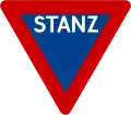 Stop (1945-1956)
Traffic lights
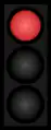 Red traffic lights
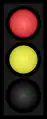 Red amber traffic lights
 Green traffic lights
 Amber traffic lights
External links
References
- ↑ https://www.samgongustofa.is/
- ↑ https://www.samgongustofa.is/media/log-og-reglur-i-umferdarmalum/289_1995-Reglugerd-um-umferdarmerki-og-notkun-theirra-nr_289_1995-20130625.pdf
- ↑ https://www.stjornartidindi.is/Advert.aspx?RecordID=3f94b8e1-8912-4640-a8ae-ac40d840b96d
- ↑ https://www.stjornartidindi.is/Advert.aspx?RecordID=c3b9b11b-b3bc-4667-bfeb-5030395dcba9
- ↑ "Traffic Signs and road markings in Iceland". carrentalss.com. Retrieved 2021-05-13.
- ↑ "Traffic Signs and road markings in Iceland". carrentalss.com. Retrieved 2021-05-13.
- 1 2 3 4 5 6 7 8 9 10 11 12 13 14 15 16 17 18 19 20 21 22 23 24 Karlsson, Guðni (2021). Driving in Iceland. Netökuskólinn ehf. p. 165-172.
- 1 2 3 4 5 6 7 8 9 10 11 12 13 14 15 16 17 18 19 "Traffic Signs and road markings in Iceland".