| Séoune | |
|---|---|
 | |
  | |
| Location | |
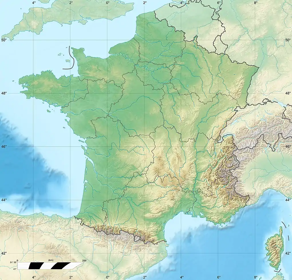
| Country | France |
| Physical characteristics | |
| Source | |
| • location | Sauzet |
| • coordinates | 44°24′07″N 01°15′44″E / 44.40194°N 1.26222°E |
| • elevation | 270 m (890 ft) |
| Mouth | |
• location | Garonne |
• coordinates | 44°09′43″N 0°40′21″E / 44.1619°N 0.6725°E |
• elevation | 45 m (148 ft) |
| Length | 65 km (40 mi) |
| Basin size | 463 km2 (179 sq mi) |
| Discharge | |
| • average | 3.07 m3/s (108 cu ft/s) |
| Basin features | |
| Progression | Garonne→ Gironde estuary→ Atlantic Ocean |
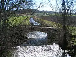
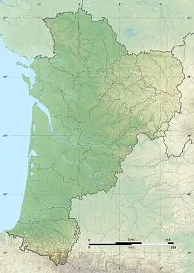
The Séoune (French pronunciation: [seun]; French: la Séoune) is a 65-kilometre (40 mi) long river in the Lot, Tarn-et-Garonne and Lot-et-Garonne départements, southwestern France.[1] Its source is at Sauzet. It flows generally southwest. It is a right tributary of the Garonne into which it flows between Lafox and Boé, near Agen.
Départements and communes along its course
This list is ordered from source to mouth:
- Lot: Sauzet, Carnac-Rouffiac, Bagat-en-Quercy, Fargues, Montcuq, Belmontet, Valprionde,
- Tarn-et-Garonne: Belvèze, Bouloc, Lauzerte, Montagudet, Touffailles, Miramont-de-Quercy, Fauroux, Brassac, Castelsagrat, Montjoi
- Lot-et-Garonne: Saint-Maurin
- Tarn-et-Garonne: Perville
- Lot-et-Garonne: Tayrac, Puymirol, Saint-Pierre-de-Clairac, Castelculier, Lafox, Boé
References
This article is issued from Wikipedia. The text is licensed under Creative Commons - Attribution - Sharealike. Additional terms may apply for the media files.