St. Vincent | |
|---|---|
 St. Vincent Location of St. Vincent  St. Vincent St. Vincent (Canada) | |
| Coordinates: 54°09′13″N 111°16′41″W / 54.15361°N 111.27806°W | |
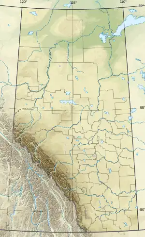
| Country | Canada |
| Province | Alberta |
| Region | Central Alberta |
| Census division | 12 |
| Municipal district | County of St. Paul No. 19 |
| Government | |
| • Type | Unincorporated |
| • Governing body | County of St. Paul No. 19 Council |
| Population (1991)[1] | |
| • Total | 43 |
| Time zone | UTC−07:00 (MST) |
| • Summer (DST) | UTC−06:00 (MDT) |
| Area code(s) | 780, 587, 825 |
St. Vincent is a hamlet in northern Alberta, Canada within the County of St. Paul No. 19.[2] It is located 3 kilometres (1.9 mi) south of Highway 28, approximately 79 kilometres (49 mi) southwest of Cold Lake.
St. Vincent is the subject of a lengthy profile on the Alberta Online Encyclopedia, as a case study of a Franco-Albertan settlement.[3]
Demographics
St. Vincent recorded a population of 43 in the 1991 Census of Population conducted by Statistics Canada.[1]
See also
References
- 1 2 "91 Census: Unincorporated Places — Population and Dwelling Counts" (PDF). Statistics Canada. June 1993. Retrieved September 25, 2021.
- ↑ "Specialized and Rural Municipalities and Their Communities" (PDF). Alberta Municipal Affairs. January 12, 2022. Retrieved January 21, 2022.
- ↑ "Alberta Online Encyclopedia - Saint Vincent and St. Paul - History". www.abheritage.ca.
This article is issued from Wikipedia. The text is licensed under Creative Commons - Attribution - Sharealike. Additional terms may apply for the media files.