Whitford | |
|---|---|
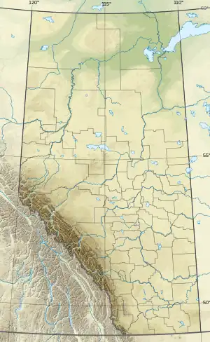 Whitford Location of Whitford  Whitford Whitford (Canada) | |
| Coordinates: 53°52′21″N 112°12′53″W / 53.87250°N 112.21472°W | |
| Country | Canada |
| Province | Alberta |
| Region | Central Alberta |
| Census division | 10 |
| Municipal district | Lamont County |
| Government | |
| • Type | Unincorporated |
| • Governing body | Lamont County Council |
| Population (1981)[1] | |
| • Total | 6 |
| Time zone | UTC−07:00 (MST) |
| • Summer (DST) | UTC−06:00 (MDT) |
| Area code(s) | 780, 587, 825 |
Whitford is a hamlet in central Alberta, Canada within Lamont County.[2] It is located 1 kilometre (0.62 mi) west of Highway 45, approximately 68 kilometres (42 mi) northeast of Fort Saskatchewan. The first school was built in 1895 with John and Andrew Whitford as trustees.[3]
Demographics
Whitford recorded a population of 6 in the 1981 Census of Population conducted by Statistics Canada.[1]
See also
References
- 1 2 "1981 Census of Canada: Place Name Reference List — Western Provinces and the Territories" (PDF). Statistics Canada. May 1983. Retrieved September 25, 2021.
- ↑ "Specialized and Rural Municipalities and Their Communities" (PDF). Alberta Municipal Affairs. January 12, 2022. Retrieved January 21, 2022.
- ↑ Choriawy, Cathy (1989). Commerce in the country : a land use and structural history of the Luzan grocery store. Edmonton: Alberta Culture, Historical Resources Division. p. 20.
This article is issued from Wikipedia. The text is licensed under Creative Commons - Attribution - Sharealike. Additional terms may apply for the media files.