| Tāhekeroa River | |
|---|---|
Route of the Tāhekeroa River | |
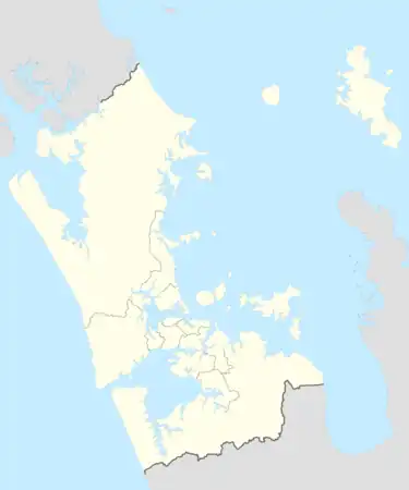 Mouth of the Tāhekeroa River  Tāhekeroa River (New Zealand) | |
| Location | |
| Country | New Zealand |
| Region | Auckland Region |
| Physical characteristics | |
| Source | |
| • coordinates | 36°32′14″S 174°36′30″E / 36.5371°S 174.6083°E |
| Mouth | Makarau River |
• coordinates | 36°33′26″S 174°31′18″E / 36.55733°S 174.52174°E |
| Length | 8 km (5.0 mi) |
| Basin features | |
| Progression | Tāhekeroa River → Makarau River → Kaipara Harbour → Tasman Sea |
The Tāhekeroa River is a river of the Auckland Region of New Zealand's North Island. It flows generally southwest to reach the Makarau River eight kilometres north of Kaukapakapa.[1]
See also
References
- ↑ "Place name detail: Tāhekeroa River". New Zealand Gazetteer. New Zealand Geographic Board. Retrieved 8 June 2010.
This article is issued from Wikipedia. The text is licensed under Creative Commons - Attribution - Sharealike. Additional terms may apply for the media files.