| Terrappee Victoria | |||||||||||||||
|---|---|---|---|---|---|---|---|---|---|---|---|---|---|---|---|
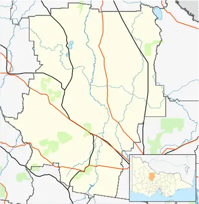 Terrappee Location in Shire of Loddon | |||||||||||||||
| Coordinates | 36°09′17″S 143°34′35″E / 36.15472°S 143.57639°E | ||||||||||||||
| Postcode(s) | 3525 | ||||||||||||||
| Location | |||||||||||||||
| LGA(s) | |||||||||||||||
| State electorate(s) | Mildura | ||||||||||||||
| Federal division(s) | Mallee | ||||||||||||||
| |||||||||||||||
Terrappee is a locality in the local government areas of the Shire of Buloke and the Shire of Loddon, Victoria, Australia which is possibly named after the lake in the area.[1] The post office there opened as Terrapee [sic] on 13 October 1887 and was closed on 1 December 1927.[2]
References
- ↑ "VEC Locality Finder" (PDF). Retrieved 2 April 2012.
- ↑ Premier Postal History, Post Office List, retrieved 11 April 2008
Localities in the Shire of Buloke | ||
|---|---|---|
| Town |  | |
| Locality |
| |
^ - Territory divided with another LGA | ||
Localities in the Shire of Loddon | ||
|---|---|---|
| Town | | |
| Locality |
| |
^ - Territory divided with another LGA | ||
This article is issued from Wikipedia. The text is licensed under Creative Commons - Attribution - Sharealike. Additional terms may apply for the media files.