| The Finger | |
|---|---|
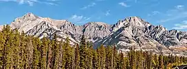 Cockscomb Mountain (left) and The Finger (right) | |
| Highest point | |
| Elevation | 2,545 m (8,350 ft)[1] |
| Listing | Mountains of Alberta |
| Coordinates | 51°13′15″N 115°43′00″W / 51.22083°N 115.71667°W[1] |
| Geography | |
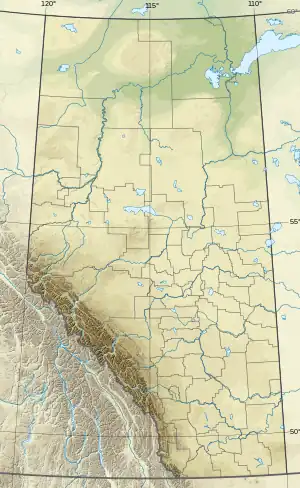 The Finger Location in Alberta | |
| Country | Canada |
| Province | Alberta |
| Protected area | Banff National Park |
| Parent range | Sawback Range |
| Topo map | NTS 82O4 Banff |
| Climbing | |
| First ascent | 1935 by Lawrence Grassi[1] |
| Easiest route | YDS 5.5[1] |
The Finger is a mountain in the Sawback Range of the Canadian Rockies in Alberta, Canada. The name is unofficial as it does not appear in the Canadian Geographical Names Database.
References
- 1 2 3 4 "The Finger". cdnrockiesdatabases.ca. Retrieved 2006-09-19.
This article is issued from Wikipedia. The text is licensed under Creative Commons - Attribution - Sharealike. Additional terms may apply for the media files.