Vicksburg, Arizona | |
|---|---|
 Location in La Paz County, Arizona | |
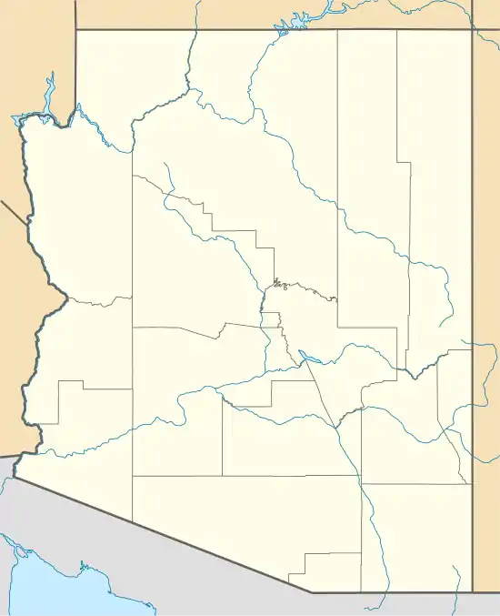 Vicksburg Location in Arizona  Vicksburg Location in the United States | |
| Coordinates: 33°44′40″N 113°45′08″W / 33.74444°N 113.75222°W | |
| Country | United States |
| State | Arizona |
| County | La Paz |
| Area | |
| • Total | 142.93 sq mi (370.20 km2) |
| • Land | 142.93 sq mi (370.20 km2) |
| • Water | 0.00 sq mi (0.00 km2) |
| Elevation | 1,388 ft (423 m) |
| Population (2020) | |
| • Total | 418 |
| • Density | 2.92/sq mi (1.13/km2) |
| Time zone | UTC-7 (Mountain (MST)) |
| Area code | 928 |
| GNIS feature ID | 13221 |
| FIPS code | 04-79940 |
Vicksburg is a census-designated place in La Paz County, Arizona, United States. Its population was 418 as of the 2020 census. The community was named for Victor E. Satterdahl, a storekeeper who applied for its post office and served as the first postmaster once it opened in 1906.[2]
Demographics
| Census | Pop. | Note | %± |
|---|---|---|---|
| 2020 | 418 | — | |
| U.S. Decennial Census[3] | |||
References
- ↑ "2020 U.S. Gazetteer Files". United States Census Bureau. Retrieved October 29, 2021.
- ↑ "Vicksburg". Geographic Names Information System. United States Geological Survey, United States Department of the Interior.
- ↑ "Census of Population and Housing". Census.gov. Retrieved June 4, 2016.
Municipalities and communities of La Paz County, Arizona, United States | ||
|---|---|---|
| Towns | 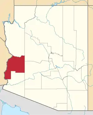 | |
| CDPs | ||
| Populated places | ||
| Indian reservations | ||
| Ghost towns | ||
This article is issued from Wikipedia. The text is licensed under Creative Commons - Attribution - Sharealike. Additional terms may apply for the media files.