Wirt | |
|---|---|
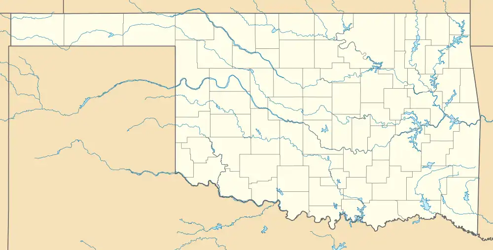 Wirt Location within the state of Oklahoma  Wirt Wirt (the United States) | |
| Coordinates: 34°13′51″N 97°31′54″W / 34.23083°N 97.53167°W | |
| Country | United States |
| State | Oklahoma |
| County | Carter |
| Elevation | 965 ft (294 m) |
| Time zone | UTC-6 (Central (CST)) |
| • Summer (DST) | UTC-5 (CDT) |
| GNIS feature ID | 1099928[1] |
Wirt is an unincorporated community in Carter County, Oklahoma, United States,[1] approximately three miles west of Healdton.[2] First called Ragtown because of the tents the oil workers lived in when the petroleum boom started,[2] the town was formally named after Wirt Franklin, who was in the oil business[3] and drilled the first local well.[2] The community post office began operations on December 12, 1914.[3] At its peak, the town had a school, movie theater, bank, drug store, two gas stations, two churches, and two groceries.[2] But the town burned several times, and the population declined when the oil boom ended.[2]
References
Municipalities and communities of Carter County, Oklahoma, United States | ||
|---|---|---|
| Cities | 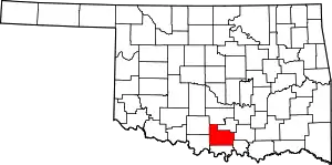 Carter County map | |
| Towns | ||
| CDP | ||
| Other communities | ||
| Ghost towns | ||
| Indian reservation | ||
| Footnotes | ‡This populated place also has portions in an adjacent county or counties | |
This article is issued from Wikipedia. The text is licensed under Creative Commons - Attribution - Sharealike. Additional terms may apply for the media files.