Yamazoe
山添村 | |
|---|---|
Village | |
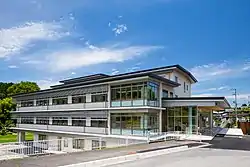 Yamazoe Village Office | |
 Flag  Seal | |
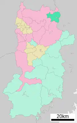 Location of Yamazoe in Nara Prefecture | |
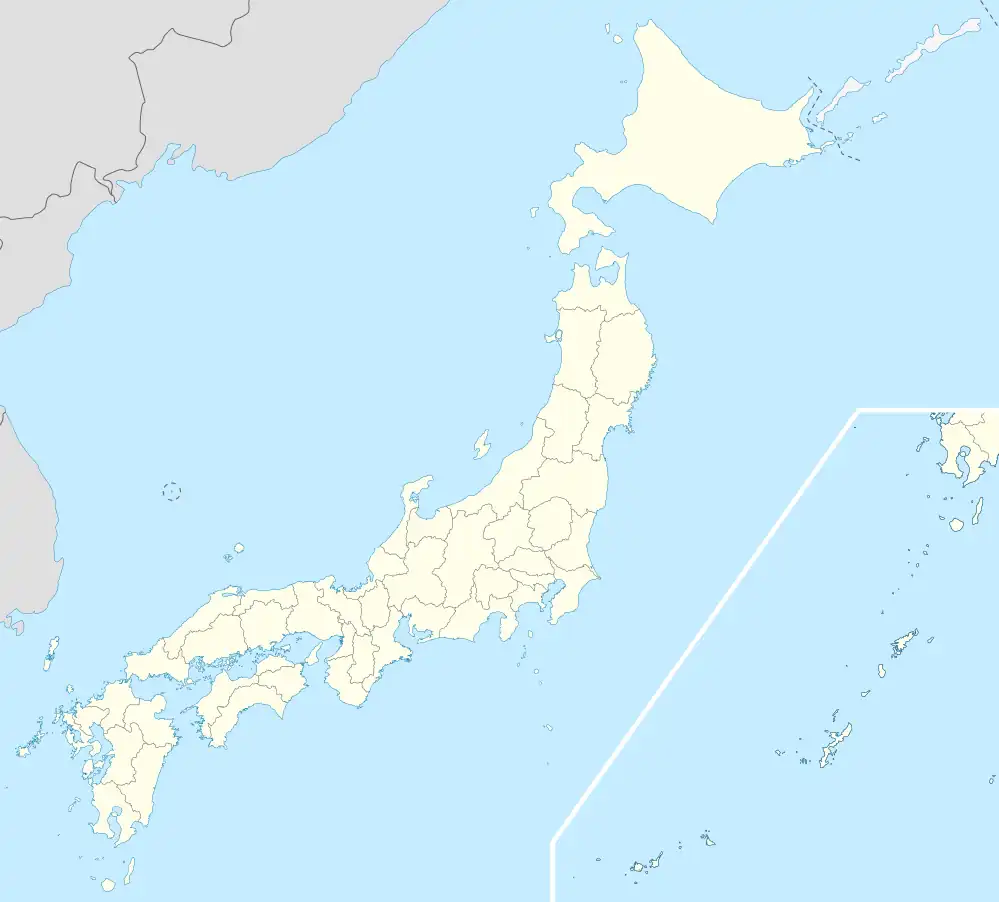 Yamazoe Location in Japan | |
| Coordinates: 34°41′N 136°3′E / 34.683°N 136.050°E | |
| Country | Japan |
| Region | Kansai |
| Prefecture | Nara Prefecture |
| District | Yamabe |
| Area | |
| • Total | 66.52 km2 (25.68 sq mi) |
| Population (April 1, 2017) | |
| • Total | 3,701 |
| • Density | 56/km2 (140/sq mi) |
| Time zone | UTC+09:00 (JST) |
| City hall address | 151 Ōaza Onishi, Yamazoe-mura, Yamabe-gun, Nara-ken 630-2344 |
| Website | www |
| Symbols | |
| Flower | Azalea |
Yamazoe (山添村, Yamazoe-mura) is a village located in Yamabe District, Nara Prefecture, Japan.
As of April 1, 2017, the village has an estimated population of 3,701.[1] The total area is 66.56 km².[2]
Geography
Located in the northeastern corner of Nara Prefecture, it is located on a plateau, with Mount Kanna as its highest mountain.[3] It is cool in the summer and freezing in the winter. The village has an elevation between 120 m and 620 m.[4] The Nabari River flows through.
Surrounding municipalities
Education
- Primary Schools
- Yamazoe Elementary School
- Kitano Elementary School
- Junior High Schools
- Yamazoe Junior High School
References
- ↑ "Official website of Yamazoe Village" (in Japanese). Japan: Yamazoe Village. Retrieved 24 April 2017.
- ↑ "Geography of Yamazoe Village" (in Japanese). Japan: Yamazoe Village. Retrieved 24 April 2017.
- ↑ 考える社会科地図 Kangaeru Shakaika Chizu. 四谷大塚出版 Yotsuya-Ōtsuka Shuppan. 2005. p. 36.
- ↑ 奈良県山添村のホームページへようこそ
External links
 Media related to Yamazoe, Nara at Wikimedia Commons
- Yamazoe village Official Site (in Japanese)
| Core city | ||
|---|---|---|
| Cities | ||
| Districts | ||
This article is issued from Wikipedia. The text is licensed under Creative Commons - Attribution - Sharealike. Additional terms may apply for the media files.