| Younghusband Ridge | |
|---|---|
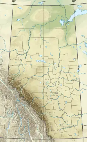 Younghusband Ridge Location in Alberta and British Columbia 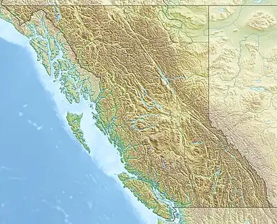 Younghusband Ridge Younghusband Ridge (British Columbia) | |
| Highest point | |
| Elevation | 3,170 m (10,400 ft)[1][2] |
| Prominence | 130 m (430 ft)[3] |
| Parent peak | Apex Mountain (3250 m)[3] |
| Listing | |
| Coordinates | 52°14′09″N 117°48′54″W / 52.2358334°N 117.815°W[4] |
| Geography | |
| Country | Canada |
| Provinces | Alberta and British Columbia |
| District | Kootenay[5] |
| Protected area | Jasper National Park |
| Parent range | Park Ranges |
| Topo map | NTS 83C4 Clemenceau Icefield[4] |
| Climbing | |
| First ascent | 1927 by Alfred J. Ostheimer, guided by Hans Fuhrer |
Younghusband Ridge is located east of Wood Arm Kinbasket Lake and straddles the Continental Divide marking the Alberta-British Columbia border.[5] It was named in 1927 by Alfred J. Ostheimer after Lt. Col. Sir Francis Younghusband.[1][3]
See also
References
- 1 2 "Younghusband Ridge". cdnrockiesdatabases.ca. Retrieved 2023-10-17.
- ↑ "Topographic map of Younghusband Ridge". opentopomap.org. Retrieved 2023-10-17.
- 1 2 3 "Younghusband Ridge". Bivouac.com. Retrieved 2023-10-17.
- 1 2 "Younghusband Ridge (Alberta)". Geographical Names Data Base. Natural Resources Canada. Retrieved 2023-10-17.
- 1 2 "Younghusband Ridge". BC Geographical Names. Retrieved 2023-10-17.
This article is issued from Wikipedia. The text is licensed under Creative Commons - Attribution - Sharealike. Additional terms may apply for the media files.