Axixá do Tocantins | |
|---|---|
Municipality | |
| The Municipality of Axixá do Tocantins | |
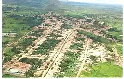 Aerial view of Axixá do Tocantins | |
 Flag | |
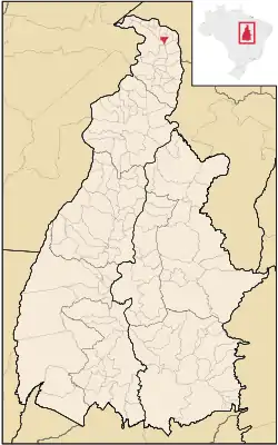 Location of Axixá do Tocantins in the State of Tocantins | |
| Coordinates: 05°37′01″S 47°46′08″W / 5.61694°S 47.76889°W | |
| Country | |
| Region | North |
| State | |
| Founded | October 14, 1964 |
| Government | |
| • Mayor | Ruidiad Sousa Brito (PT) |
| Area | |
| • Total | 150.214 km2 (57.998 sq mi) |
| Elevation | 210 m (690 ft) |
| Population (2020 [1]) | |
| • Total | 9,787 |
| • Density | 65/km2 (170/sq mi) |
| Time zone | UTC−3 (BRT) |
| HDI (2000) | 0.571 – medium[2] |
| Website | www.axixa.to.gov.br |
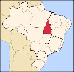
Axixá do Tocantins is a municipality located in the Brazilian state of Tocantins. Its population in 2020 was 9,787 and its area is 150 km2.[3] It is the smallest municipality in that state by area.
References
- ↑ "IBGE 2020". Retrieved 26 January 2021.
- ↑ "Archived copy". Archived from the original on 2009-10-03. Retrieved 2009-12-17.
{{cite web}}: CS1 maint: archived copy as title (link) - UNDP - ↑ IBGE - "Archived copy". Archived from the original on 2007-01-09. Retrieved 2008-06-11.
{{cite web}}: CS1 maint: archived copy as title (link)
This article is issued from Wikipedia. The text is licensed under Creative Commons - Attribution - Sharealike. Additional terms may apply for the media files.