Chapada de Areia | |
|---|---|
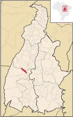 Location in Tocantins state | |
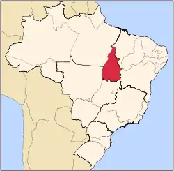
 Chapada de Areia Location in Brazil | |
| Coordinates: 10°08′31″S 49°10′46″W / 10.14194°S 49.17944°W | |
| Country | Brazil |
| Region | North |
| State | Tocantins |
| Area | |
| • Total | 659 km2 (254 sq mi) |
| Population (2020 [1]) | |
| • Total | 1,410 |
| • Density | 2.1/km2 (5.5/sq mi) |
| Time zone | UTC−3 (BRT) |
Chapada de Areia is a municipality located in the Brazilian state of Tocantins. Its population was 1,410 (2020) and its area is 659 km².[2]
The municipality contains 2% of the 1,678,000 hectares (4,150,000 acres) Ilha do Bananal / Cantão Environmental Protection Area, created in 1997.[3]
References
- ↑ "IBGE 2020". Retrieved 26 January 2021.
- ↑ IBGE - "Archived copy". Archived from the original on 2008-06-11. Retrieved 2008-06-11.
{{cite web}}: CS1 maint: archived copy as title (link) - ↑ APA Leandro (Ilha do Bananal/Cantão) (in Portuguese), ISA: Instituto Socioambiental, retrieved 2016-10-31
This article is issued from Wikipedia. The text is licensed under Creative Commons - Attribution - Sharealike. Additional terms may apply for the media files.