Beara | |
|---|---|
 Beara Location in Madagascar | |
| Coordinates: 24°4′S 45°18′E / 24.067°S 45.300°E | |
| Country | |
| Region | Atsimo-Andrefana |
| District | Ampanihy Ouest (district) |
| Elevation | 321 m (1,053 ft) |
| Population (2018)Census | |
| • Total | 3,901 |
| • Ethnicities | Mahafaly |
| Time zone | UTC3 (EAT) |
| Postal code | 605 |
Beara is a rural municipality in Ampanihy Ouest (district) in Atsimo-Andrefana, Madagascar.
Rivers
It is on the Linta River that flooded the village in 1968, 1981 and 2005.[2]
References
Capital: Toliara | ||
| Ampanihy Ouest (19) - 605 | 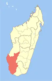 | |
| Ankazoabo - 606 - (10) |
| |
| Benenitra - 610 - (6) |
| |
| Beroroha - 611 - (9) |
| |
| Betioky-Atsimo -612 - (31) |
| |
| Morombe (9) - 618 | ||
| Sakaraha (12) - 620 | ||
| Toliara I (1) | ||
| Toliara II (22) (602) | ||
9 districts; 119 communes | ||
This article is issued from Wikipedia. The text is licensed under Creative Commons - Attribution - Sharealike. Additional terms may apply for the media files.