Chapet | |
|---|---|
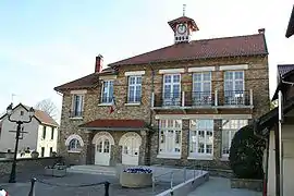 Town hall | |
Location of Chapet | |
 Chapet 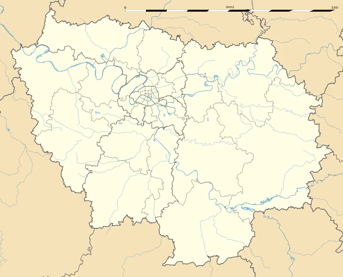 Chapet | |
| Coordinates: 48°58′02″N 1°56′04″E / 48.9672°N 1.9344°E | |
| Country | France |
| Region | Île-de-France |
| Department | Yvelines |
| Arrondissement | Mantes-la-Jolie |
| Canton | Les Mureaux |
| Intercommunality | CU Grand Paris Seine et Oise |
| Government | |
| • Mayor (2020–2026) | Benoît de Laurens[1] |
| Area 1 | 5.10 km2 (1.97 sq mi) |
| Population | 1,344 |
| • Density | 260/km2 (680/sq mi) |
| Time zone | UTC+01:00 (CET) |
| • Summer (DST) | UTC+02:00 (CEST) |
| INSEE/Postal code | 78140 /78130 |
| Elevation | 29–121 m (95–397 ft) (avg. 59 m or 194 ft) |
| 1 French Land Register data, which excludes lakes, ponds, glaciers > 1 km2 (0.386 sq mi or 247 acres) and river estuaries. | |
Chapet (French pronunciation: [ʃapɛ] ⓘ) is a commune in the Yvelines department in the Île-de-France region in north-central France, about 16 km east of Mantes-la-Jolie. It is on the Normandy motorway (A13).
The commune's neighbours are Verneuil-sur-Seine to the northeast, to the east is Vernouillet, with Morainvilliers to the southeast, Ecquevilly to the southwest, and to the northwest is Les Mureaux.
It is a largely rural and agricultural community; the land is divided mainly between arable crops (cereals, oilseed rape) with some woods and forest.
The parish church of Saint-Denis dates from the 12th century. The bell-tower was added in 1859.
See also
References
- ↑ "Répertoire national des élus: les maires" (in French). data.gouv.fr, Plateforme ouverte des données publiques françaises. 4 May 2022.
- ↑ "Populations légales 2021". The National Institute of Statistics and Economic Studies. 28 December 2023.
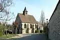 Saint-Denis
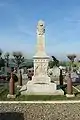 War memorial
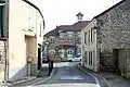 Grande Rue
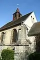 Belfry
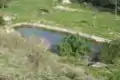 Pond
Pond
Wikimedia Commons has media related to Chapet.
This article is issued from Wikipedia. The text is licensed under Creative Commons - Attribution - Sharealike. Additional terms may apply for the media files.