Orgerus | |
|---|---|
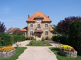 Town hall | |
.svg.png.webp) Coat of arms | |
Location of Orgerus | |
 Orgerus 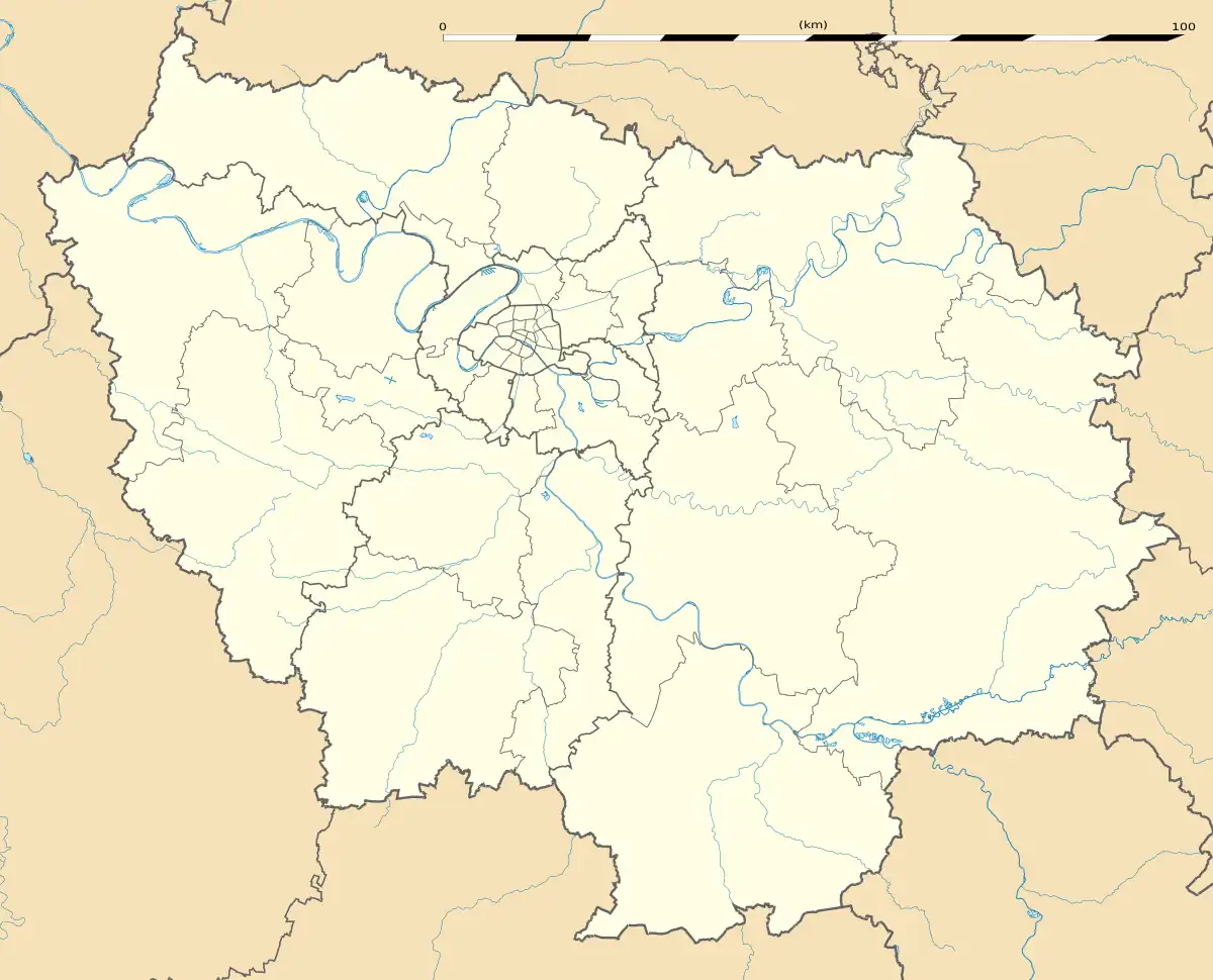 Orgerus | |
| Coordinates: 48°50′24″N 1°42′05″E / 48.84°N 1.7014°E | |
| Country | France |
| Region | Île-de-France |
| Department | Yvelines |
| Arrondissement | Mantes-la-Jolie |
| Canton | Bonnières-sur-Seine |
| Government | |
| • Mayor (2020–2026) | Jean-Michel Verplaetse[1] |
| Area 1 | 14.34 km2 (5.54 sq mi) |
| Population | 2,480 |
| • Density | 170/km2 (450/sq mi) |
| Time zone | UTC+01:00 (CET) |
| • Summer (DST) | UTC+02:00 (CEST) |
| INSEE/Postal code | 78465 /78910 |
| Elevation | 77–186 m (253–610 ft) (avg. 100 m or 330 ft) |
| 1 French Land Register data, which excludes lakes, ponds, glaciers > 1 km2 (0.386 sq mi or 247 acres) and river estuaries. | |
Orgerus (French pronunciation: [ɔʁʒəʁys]) is a commune in the Yvelines department in the Île-de-France region of northern France.
Population
| Year | Pop. | ±% p.a. |
|---|---|---|
| 1968 | 1,012 | — |
| 1975 | 1,457 | +5.34% |
| 1982 | 2,004 | +4.66% |
| 1990 | 2,184 | +1.08% |
| 1999 | 2,245 | +0.31% |
| 2007 | 2,336 | +0.50% |
| 2012 | 2,340 | +0.03% |
| 2017 | 2,370 | +0.26% |
| Source: INSEE[3] | ||
See also
References
- ↑ "Répertoire national des élus: les maires" (in French). data.gouv.fr, Plateforme ouverte des données publiques françaises. 4 May 2022.
- ↑ "Populations légales 2021". The National Institute of Statistics and Economic Studies. 28 December 2023.
- ↑ Population en historique depuis 1968, INSEE
Wikimedia Commons has media related to Orgerus.
This article is issued from Wikipedia. The text is licensed under Creative Commons - Attribution - Sharealike. Additional terms may apply for the media files.