Fontenay-le-Fleury | |
|---|---|
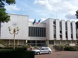 Town hall (Mairie) | |
 Coat of arms | |
Location of Fontenay-le-Fleury | |
 Fontenay-le-Fleury 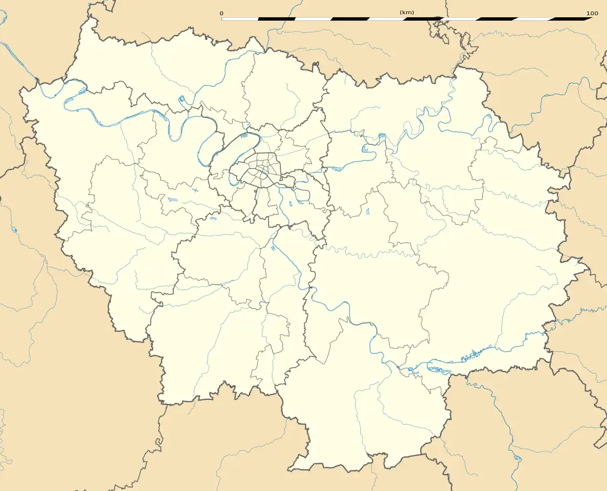 Fontenay-le-Fleury | |
| Coordinates: 48°48′52″N 2°02′58″E / 48.8144°N 2.0494°E | |
| Country | France |
| Region | Île-de-France |
| Department | Yvelines |
| Arrondissement | Versailles |
| Canton | Saint-Cyr-l'École |
| Intercommunality | CA Versailles Grand Parc |
| Government | |
| • Mayor (2020–2026) | Richard Rivaud[1] |
| Area 1 | 5.43 km2 (2.10 sq mi) |
| Population | 13,455 |
| • Density | 2,500/km2 (6,400/sq mi) |
| Time zone | UTC+01:00 (CET) |
| • Summer (DST) | UTC+02:00 (CEST) |
| INSEE/Postal code | 78242 /78330 |
| Elevation | 92–176 m (302–577 ft) (avg. 120 m or 390 ft) |
| 1 French Land Register data, which excludes lakes, ponds, glaciers > 1 km2 (0.386 sq mi or 247 acres) and river estuaries. | |
Fontenay-le-Fleury (French pronunciation: [fɔ̃tnɛ lə flœʁi] ⓘ) is a commune in the Yvelines department in the Île-de-France in north-central France.
Population
| Year | Pop. | ±% p.a. |
|---|---|---|
| 1968 | 12,035 | — |
| 1975 | 14,279 | +2.47% |
| 1982 | 12,874 | −1.47% |
| 1990 | 13,196 | +0.31% |
| 1999 | 12,582 | −0.53% |
| 2007 | 12,974 | +0.38% |
| 2012 | 12,823 | −0.23% |
| 2017 | 13,503 | +1.04% |
| Source: INSEE[3] | ||
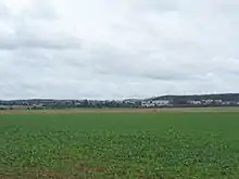
View northwest from Fontenay-le-Fleury

Saint-Germain
See also
References
- ↑ "Répertoire national des élus: les maires" (in French). data.gouv.fr, Plateforme ouverte des données publiques françaises. 13 September 2022.
- ↑ "Populations légales 2021". The National Institute of Statistics and Economic Studies. 28 December 2023.
- ↑ Population en historique depuis 1968, INSEE
Wikimedia Commons has media related to Fontenay-le-Fleury.
This article is issued from Wikipedia. The text is licensed under Creative Commons - Attribution - Sharealike. Additional terms may apply for the media files.