Chippubetsu
秩父別町 | |
|---|---|
Town | |
 Chippubetsu town hall | |
 Flag  Emblem | |
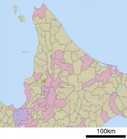 Location of Chippubetsu in Hokkaido (Sorachi Subprefecture) | |
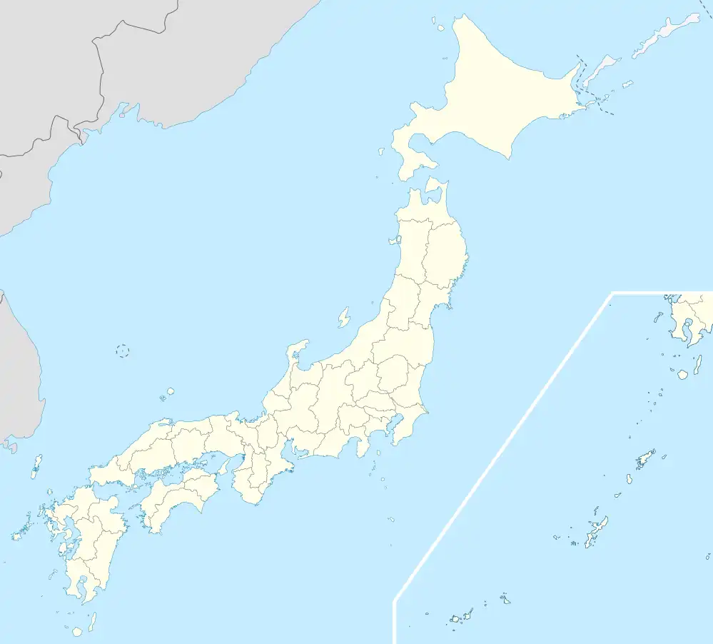 Chippubetsu Location in Japan | |
| Coordinates: 43°46′N 141°57′E / 43.767°N 141.950°E | |
| Country | Japan |
| Region | Hokkaido |
| Prefecture | Hokkaido (Sorachi Subprefecture) |
| District | Uryū |
| Area | |
| • Total | 47.26 km2 (18.25 sq mi) |
| Population (September 30, 2016) | |
| • Total | 2,463 |
| • Density | 52/km2 (130/sq mi) |
| Time zone | UTC+09:00 (JST) |
| Website | www |
Chippubetsu (秩父別町, Chippubetsu-chō) is a town located in Sorachi Subprefecture, Hokkaido, Japan.
As of September 2016, the town has an estimated population of 2,463. The total area is 47.26 km2.
Culture
Mascot

Chibel-kun, the town's mascot
Chippubetsu's mascot is Chibel-kun (チーベルくん, Chīberu-kun). He is a scarecrow with a cape. He usually attends not only events held in Chippubetsu but events outside of the town. His hat can tell time.[1]
References
- ↑ "チーベルくんのプロフィール(秩父別町)". Kawaii Hokkaido.
External links
 Media related to Chippubetsu, Hokkaidō at Wikimedia Commons
- Official Website (in Japanese)
| ||||||||||||
| ||||||||||||
| ||||||||||||
| ||||||||||||
| ||||||||||||
| ||||||||||||
| ||||||||||||
| ||||||||||||
| ||||||||||||
| ||||||||||||
| ||||||||||||
| ||||||||||||
| ||||||||||||
| ||||||||||||
This article is issued from Wikipedia. The text is licensed under Creative Commons - Attribution - Sharealike. Additional terms may apply for the media files.