 | ||||
|---|---|---|---|---|
| Автошлях М27 | ||||
 | ||||
| Route information | ||||
| Length | 14 km (8.7 mi) | |||
| Existed | 2013–present | |||
| Major junctions | ||||
| North end | Odesa | |||
| South end | Chornomorsk | |||
| Location | ||||
| Country | Ukraine | |||
| Oblasts | Odesa | |||
| Highway system | ||||
| ||||
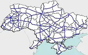
M27 is a Ukrainian international highway (M-highway) in southern Ukraine that runs from Odesa to Chornomorsk along the coast of Black Sea. Until 1 January 2013, it was designated as H04.
Main route
Main route and connections to/intersections with other highways in Ukraine.
| Marker | Main settlements | Notes | Highway Interchanges |
|---|---|---|---|
| 0 km | Odesa | ||
| Oleksandrivka | T-16-41 | ||
| 14 km | Chornomorsk |
See also
References
External links
| E-roads in Ukraine | ||
|---|---|---|
| International | ||
| National | ||
| Regional | ||
| ||
This article is issued from Wikipedia. The text is licensed under Creative Commons - Attribution - Sharealike. Additional terms may apply for the media files.