Kimobetsu
喜茂別町 | |
|---|---|
Town | |
 Kimobetsu Town hall | |
 Flag  Emblem | |
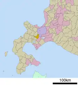 Location of Kimobetsu in Hokkaido (Shiribeshi Subprefecture) | |
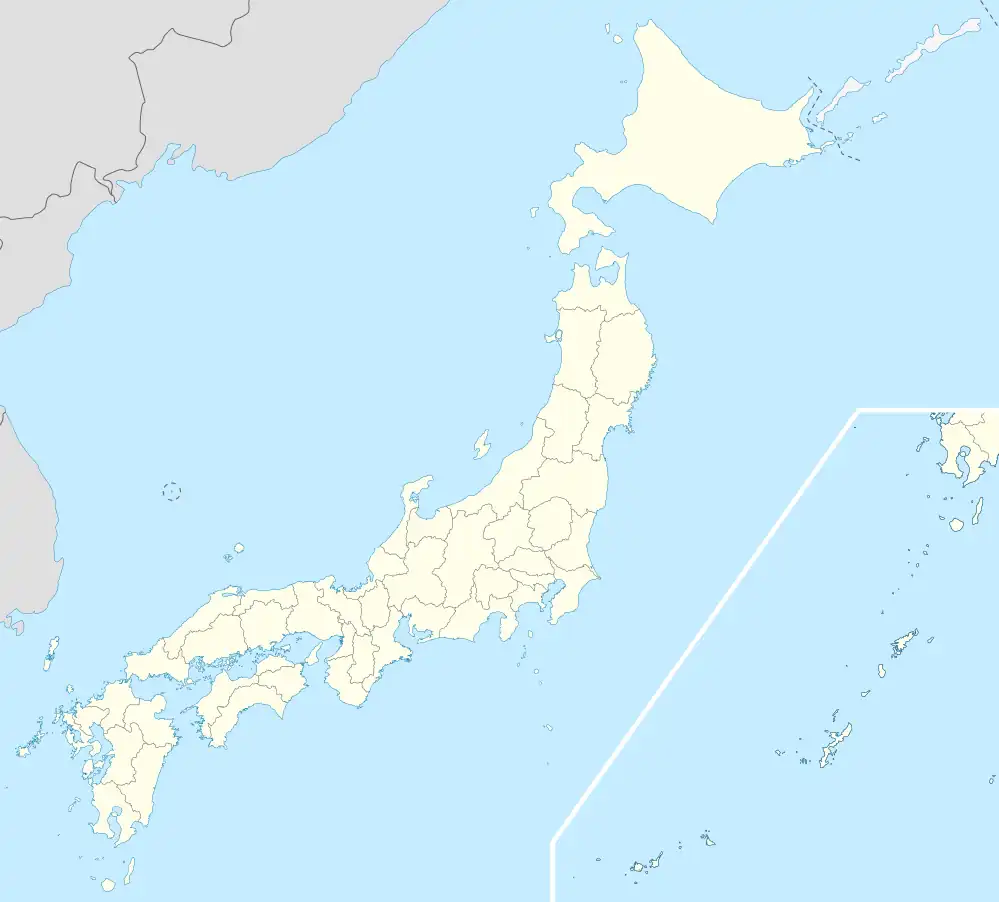 Kimobetsu Location in Japan | |
| Coordinates: 42°48′N 140°56′E / 42.800°N 140.933°E | |
| Country | Japan |
| Region | Hokkaido |
| Prefecture | Hokkaido (Shiribeshi Subprefecture) |
| District | Abuta |
| Government | |
| • Mayor | Noriaki Sugawara |
| Area | |
| • Total | 189.51 km2 (73.17 sq mi) |
| Population (September 30, 2016) | |
| • Total | 2,286 |
| • Density | 12/km2 (31/sq mi) |
| Time zone | UTC+09:00 (JST) |
| City hall address | 123 Kimobetsu, Kimobetsu, Abuta-gun, Hokkaido 044-0292 |
| Climate | Dfb |
| Website | www |
| Symbols | |
| Flower | Impatiens walleriana |
| Tree | Prunus sargenti |
Kimobetsu (喜茂別町, Kimobetsu-chō) is a town located in Shiribeshi Subprefecture, Hokkaido, Japan.
As of September 2016, the town has an estimated population of 2,286 and a population density of 12 persons per km². The total area is 189.51 km².
Geography
Route 230 and Route 276 cross each other in Kimobetsu. Nakayama Pass is on the eastern of the town.
The name derived from Ainu word "kim-o-pet", meaning "The river in the mountain".
- Mountains: Mount Yōtei, Mount Shiribetsu
- Rivers: Shiribetsu River, Kimobetsu River
Neighboring municipalities
Climate
Due to its mountainous location, Kimobetsu has a humid continental climate (Koppen Dfb). Summers are generally warm and wet, while winters are cold and extremely snowy.
| Climate data for Kimobetsu (1991–2020 normals, extremes 1978–present) | |||||||||||||
|---|---|---|---|---|---|---|---|---|---|---|---|---|---|
| Month | Jan | Feb | Mar | Apr | May | Jun | Jul | Aug | Sep | Oct | Nov | Dec | Year |
| Record high °C (°F) | 7.1 (44.8) |
11.0 (51.8) |
13.1 (55.6) |
23.8 (74.8) |
30.2 (86.4) |
33.3 (91.9) |
34.1 (93.4) |
34.5 (94.1) |
31.0 (87.8) |
24.4 (75.9) |
18.3 (64.9) |
11.3 (52.3) |
34.1 (93.4) |
| Mean daily maximum °C (°F) | −2.7 (27.1) |
−1.7 (28.9) |
2.2 (36.0) |
8.8 (47.8) |
16.5 (61.7) |
20.7 (69.3) |
24.1 (75.4) |
24.9 (76.8) |
21.0 (69.8) |
14.3 (57.7) |
6.3 (43.3) |
−0.6 (30.9) |
11.2 (52.1) |
| Daily mean °C (°F) | −7.2 (19.0) |
−6.7 (19.9) |
−2.5 (27.5) |
3.5 (38.3) |
10.2 (50.4) |
15.0 (59.0) |
19.0 (66.2) |
19.6 (67.3) |
15.0 (59.0) |
8.2 (46.8) |
1.5 (34.7) |
−4.8 (23.4) |
5.9 (42.6) |
| Mean daily minimum °C (°F) | −14.1 (6.6) |
−14.0 (6.8) |
−9.2 (15.4) |
−2.3 (27.9) |
3.7 (38.7) |
9.4 (48.9) |
14.4 (57.9) |
14.8 (58.6) |
9.2 (48.6) |
2.3 (36.1) |
−3.2 (26.2) |
−10.3 (13.5) |
0.1 (32.1) |
| Record low °C (°F) | −31.3 (−24.3) |
−31.9 (−25.4) |
−25.7 (−14.3) |
−18.5 (−1.3) |
−4.0 (24.8) |
−1.6 (29.1) |
2.4 (36.3) |
4.9 (40.8) |
−1.1 (30.0) |
−7.3 (18.9) |
−20.6 (−5.1) |
−27.3 (−17.1) |
−31.9 (−25.4) |
| Average precipitation mm (inches) | 86.1 (3.39) |
66.4 (2.61) |
68.2 (2.69) |
64.0 (2.52) |
78.9 (3.11) |
58.1 (2.29) |
106.2 (4.18) |
157.7 (6.21) |
140.3 (5.52) |
112.4 (4.43) |
126.4 (4.98) |
113.2 (4.46) |
1,178 (46.38) |
| Average snowfall cm (inches) | 238 (94) |
193 (76) |
143 (56) |
32 (13) |
0 (0) |
0 (0) |
0 (0) |
0 (0) |
0 (0) |
3 (1.2) |
95 (37) |
244 (96) |
954 (376) |
| Average precipitation days (≥ 1.0 mm) | 20.3 | 17.6 | 16.2 | 11.3 | 10.9 | 9.1 | 10.3 | 11.0 | 12.6 | 14.3 | 17.7 | 21.8 | 173.1 |
| Average snowy days (≥ 3 cm) | 23.0 | 19.6 | 16.7 | 4.8 | 0 | 0 | 0 | 0 | 0 | 0.4 | 8.6 | 21.7 | 94.8 |
| Mean monthly sunshine hours | 46.2 | 57.2 | 99.7 | 153.2 | 183.0 | 170.0 | 141.9 | 144.5 | 150.7 | 125.6 | 68.2 | 34.6 | 1,376.3 |
| Source: Japan Meteorological Agency[1][2] | |||||||||||||
History
- 1897: Makkari Village split off from Abuta Village (now Toyako Town).[3]
- 1901: Kaributo Village (now Niseko Town) was split off from Makkari Village.
- 1906: Makkari Village became a Second Class Village.
- 1910: Makkari Village was transferred from Muroran Subprefecture (now Iburi Subprefecture) to Shiribeshi Subprefecture.
- 1917: Kimobetsu Village (now town) was split off from Makkari Village.
- 1946: Kimobetsu Village became a First Class Village.
- 1952: Kimobetsu Village became Kimobetsu Town.
Education
- Junior high school
- Kimobetsu Junior High School
- Elementary school
- Kimobetsu Elementary School
- Suzukawa Elementary School
See also
References
- ↑ "平年値(年・月ごとの値)". Japan Meteorological Agency. Retrieved Feb 22, 2010.
- ↑ "観測史上1~10位の値(年間を通じての値)". Japan Meteorological Agency. Retrieved Feb 22, 2010.
- ↑ History of Rusutsu
External links
 Media related to Kimobetsu, Hokkaidō at Wikimedia Commons
- Official Website (in Japanese)
| ||||||||||||
| ||||||||||||
| ||||||||||||
| ||||||||||||
| ||||||||||||
| ||||||||||||
| ||||||||||||
| ||||||||||||
| ||||||||||||
| ||||||||||||
| ||||||||||||
| ||||||||||||
| ||||||||||||
| ||||||||||||
This article is issued from Wikipedia. The text is licensed under Creative Commons - Attribution - Sharealike. Additional terms may apply for the media files.