Mezőszilas | |
|---|---|
 Coat of arms | |
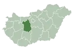
 Mezőszilas Location of Mezőszilas in Hungary | |
| Coordinates: 46°49′04″N 18°28′28″E / 46.81771°N 18.47437°E | |
| Country | Hungary |
| Region | Central Transdanubia |
| County | Fejér |
| Subregion | Sárbogárd |
| Rank | Village |
| Area | |
| • Total | 65.1 km2 (25.1 sq mi) |
| Population (2009)[2] | |
| • Total | 2,157 |
| • Density | 33/km2 (86/sq mi) |
| Time zone | UTC+1 (CET) |
| • Summer (DST) | UTC+2 (CEST) |
| Postal code | 7017 |
| Area code | +36 25 |
| KSH code | 29036[1] |
| Website | http://mezoszilas.hu/ |
Mezőszilas is a village in Fejér County, Hungary.
References
- 1 2 Mezőszilas at the Hungarian Central Statistical Office (Hungarian).
- ↑ Mezőszilas at the Hungarian Central Statistical Office (Hungarian). 1 January 2009;
External links
- Street map (in Hungarian)
| Cities with county rights |
|   |
|---|---|---|
| Towns | ||
| Large villages | ||
| Villages |
| |
| Other topics |
| |
This article is issued from Wikipedia. The text is licensed under Creative Commons - Attribution - Sharealike. Additional terms may apply for the media files.