Retzbach | |
|---|---|
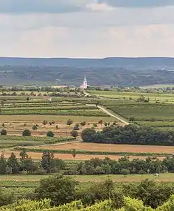 Remote view of Unterretzbach and parish church | |
 Coat of arms | |
 Retzbach Location within Austria | |
| Coordinates: 48°46′N 15°59′E / 48.767°N 15.983°E | |
| Country | Austria |
| State | Lower Austria |
| District | Hollabrunn |
| Government | |
| • Mayor | Manfred Nigl |
| Area | |
| • Total | 18.15 km2 (7.01 sq mi) |
| Elevation | 243 m (797 ft) |
| Population (2018-01-01)[2] | |
| • Total | 1,002 |
| • Density | 55/km2 (140/sq mi) |
| Time zone | UTC+1 (CET) |
| • Summer (DST) | UTC+2 (CEST) |
| Postal code | 2070 |
| Area code | 02942 |
| Website | www.retzbach.gv.at |
Retzbach is a town in the district of Hollabrunn in Lower Austria, Austria.
Geography
Retzbach lies in the Weinviertel in Lower Austria. About 6.34 percent of the municipality is forested.
References
- ↑ "Dauersiedlungsraum der Gemeinden Politischen Bezirke und Bundesländer - Gebietsstand 1.1.2018". Statistics Austria. Retrieved 10 March 2019.
- ↑ "Einwohnerzahl 1.1.2018 nach Gemeinden mit Status, Gebietsstand 1.1.2018". Statistics Austria. Retrieved 9 March 2019.
This article is issued from Wikipedia. The text is licensed under Creative Commons - Attribution - Sharealike. Additional terms may apply for the media files.