| Øyangen | |
|---|---|
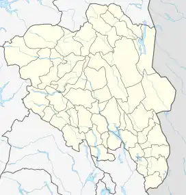 Øyangen Location of the lake Show map of Innlandet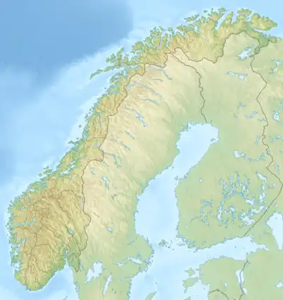 Øyangen Øyangen (Norway) Show map of Norway | |
| Location | Innlandet, Norway |
| Coordinates | 61°12′53″N 8°52′59″E / 61.21462°N 8.88304°E / 61.21462; 8.88304 |
| Basin countries | Norway |
| Max. length | 5 kilometres (3.1 mi) |
| Max. width | 1.7 kilometres (1.1 mi) |
| Surface area | 6.644 km2 (2.565 sq mi) |
| Max. depth | 73 metres (240 ft) |
| Shore length1 | 18.46 kilometres (11.47 mi) |
| Surface elevation | 677 metres (2,221 ft) |
| References | NVE[1] |
| 1 Shore length is not a well-defined measure. | |
Øyangen is a lake in Innlandet county, Norway. The 6.644-square-kilometre (2.565 sq mi) lake lies on the border of the municipalities of Øystre Slidre, Vestre Slidre, and Vang. The lake lies about 5 kilometres (3.1 mi) to the south of the village of Beitostølen and about 5 kilometres (3.1 mi) to the northwest of the village of Skammestein. The lake is regulated for hydroelectric power generation. It serves as a reservoir for the nearby Lomen power plant.
See also
References
- ↑ "Innsjødatabase". nve.no (in Norwegian). Retrieved 14 August 2022.
This article is issued from Wikipedia. The text is licensed under Creative Commons - Attribution - Sharealike. Additional terms may apply for the media files.