| Nugguren | |
|---|---|
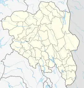 Nugguren Location of the lake Show map of Innlandet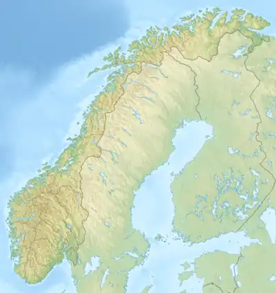 Nugguren Nugguren (Norway) Show map of Norway | |
| Location | Kongsvinger Municipality, Innlandet |
| Coordinates | 60°19′3″N 12°4′14″E / 60.31750°N 12.07056°E / 60.31750; 12.07056 |
| Primary inflows | Skasåa river |
| Primary outflows | Glomma river |
| Basin countries | Norway |
| Max. length | 5.8 kilometres (3.6 mi) |
| Max. width | 1 kilometre (0.62 mi) |
| Surface area | 4.15 km2 (1.60 sq mi) |
| Shore length1 | 13.06 kilometres (8.12 mi) |
| Surface elevation | 150 metres (490 ft) |
| References | NVE[1] |
| 1 Shore length is not a well-defined measure. | |
Nugguren is a lake in the municipality of Kongsvinger in Innlandet county, Norway. The 4.15-square-kilometre (1.60 sq mi) lake lies about 2.3 kilometres (1.4 mi) east of the village of Brandval. The lake flows out into a very short channel before emptying into the river Glomma.
See also
References
- ↑ "Innsjødatabase". nve.no (in Norwegian). Retrieved 19 March 2022.
This article is issued from Wikipedia. The text is licensed under Creative Commons - Attribution - Sharealike. Additional terms may apply for the media files.