| Otrøvatnet | |
|---|---|
| Støgovatnet | |
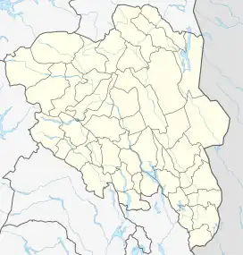 Otrøvatnet Location of the lake Show map of Innlandet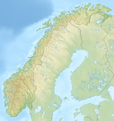 Otrøvatnet Otrøvatnet (Norway) Show map of Norway | |
| Location | Vang Municipality, Innlandet |
| Coordinates | 61°10′52″N 8°11′24″E / 61.18111°N 8.19000°E / 61.18111; 8.19000 |
| Basin countries | Norway |
| Max. length | 3 kilometres (1.9 mi) |
| Max. width | 1 kilometre (0.62 mi) |
| Surface area | 2.19 km2 (0.85 sq mi) |
| Max. depth | 56 metres (184 ft) |
| Shore length1 | 8 kilometres (5.0 mi) |
| Surface elevation | 971 metres (3,186 ft) |
| References | NVE[1] |
| 1 Shore length is not a well-defined measure. | |
Otrøvatnet (historic name: Støgovatnet) is a lake in Vang Municipality in Innlandet county, Norway. The 2-square-kilometre (0.77 sq mi) lake lies in the Filefjell area, about 2 kilometres (1.2 mi) to the southwest of the village of Tyinkrysset. The European route E16 highway passes through the 5-kilometre (3.1 mi) long Filefjell Tunnel in the mountain just north of the lake.
See also
References
- ↑ "Innsjødatabase". nve.no (in Norwegian). Retrieved 28 August 2022.
This article is issued from Wikipedia. The text is licensed under Creative Commons - Attribution - Sharealike. Additional terms may apply for the media files.