| Iptojávri | |
|---|---|
 Iptojávri Location of the lake Show map of Nordland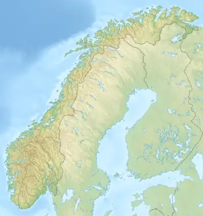 Iptojávri Iptojávri (Norway) Show map of Norway | |
| Location | Nordland |
| Coordinates | 68°07′25″N 17°28′33″E / 68.1236°N 17.4757°E / 68.1236; 17.4757 |
| Basin countries | Norway |
| Max. length | 2.7 kilometres (1.7 mi) |
| Max. width | 1.4 kilometres (0.87 mi) |
| Surface area | 2.31 km2 (0.89 sq mi) |
| Shore length1 | 9.43 kilometres (5.86 mi) |
| Surface elevation | 616 metres (2,021 ft) |
| References | NVE |
| 1 Shore length is not a well-defined measure. | |
Iptojávri is a lake in Narvik Municipality in Nordland county, Norway. The 2.31-square-kilometre (0.89 sq mi) lake lies about 15 kilometres (9.3 mi) south of the village of Elvegård, just 3 kilometres (1.9 mi) from the border with Sweden. The ending -jávri is the word for "lake" in the Northern Sami language.[1]
See also
References
- ↑ "Iptojávri" (in Norwegian). yr.no. Retrieved 2012-05-25.
This article is issued from Wikipedia. The text is licensed under Creative Commons - Attribution - Sharealike. Additional terms may apply for the media files.