| Storgåsvatnet (Norwegian) Stoerrereetjke (Southern Sami) | |
|---|---|
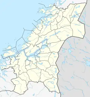 Storgåsvatnet Location of the lake Show map of Trøndelag Storgåsvatnet Storgåsvatnet (Norway) Show map of Norway | |
| Location | Namsskogan, Trøndelag |
| Coordinates | 65°03′51″N 13°10′16″E / 65.0642°N 13.1711°E / 65.0642; 13.1711 |
| Basin countries | Norway |
| Max. length | 4 kilometres (2.5 mi) |
| Max. width | 1.5 kilometres (0.93 mi) |
| Surface area | 2.8 km2 (1.1 sq mi) |
| Shore length1 | 12.43 kilometres (7.72 mi) |
| Surface elevation | 493 metres (1,617 ft) |
| References | NVE |
| 1 Shore length is not a well-defined measure. | |
Storgåsvatnet (Norwegian) or Stoerrereetjke (Southern Sami) is a lake in the municipality of Namsskogan in Trøndelag county, Norway. The 2.8-square-kilometre (1.1 sq mi) lake lies in the northern part of the municipality, southwest of the lake Mellingsvatnet and 4 kilometres (2.5 mi) west of the European route E6 highway. It is near Børgefjell National Park.[1]
See also
References
- ↑ "Storgåsvatnet" (in Norwegian). yr.no. Retrieved 2011-09-14.
This article is issued from Wikipedia. The text is licensed under Creative Commons - Attribution - Sharealike. Additional terms may apply for the media files.