Saint-André-les-Alpes | |
|---|---|
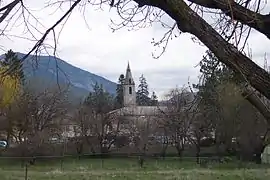 The bell tower of the church in Saint-André-les-Alpes | |
 Coat of arms | |
Location of Saint-André-les-Alpes | |
 Saint-André-les-Alpes 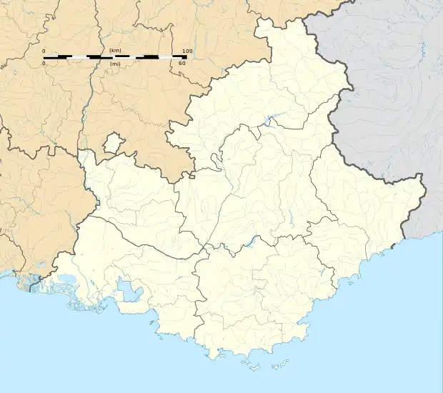 Saint-André-les-Alpes | |
| Coordinates: 43°58′08″N 6°30′30″E / 43.9689°N 6.5083°E | |
| Country | France |
| Region | Provence-Alpes-Côte d'Azur |
| Department | Alpes-de-Haute-Provence |
| Arrondissement | Castellane |
| Canton | Castellane |
| Intercommunality | Alpes Provence Verdon-Sources de Lumière |
| Government | |
| • Mayor (2020–2026) | Serge Prato[1] |
| Area 1 | 47.46 km2 (18.32 sq mi) |
| Population | 1,023 |
| • Density | 22/km2 (56/sq mi) |
| Time zone | UTC+01:00 (CET) |
| • Summer (DST) | UTC+02:00 (CEST) |
| INSEE/Postal code | 04173 /04170 |
| 1 French Land Register data, which excludes lakes, ponds, glaciers > 1 km2 (0.386 sq mi or 247 acres) and river estuaries. | |
Saint-André-les-Alpes (French pronunciation: [sɛ̃.t‿ɑ̃dʁe le.z‿alp]; Occitan: Sant Andrieu) is a commune in the Alpes-de-Haute-Provence department in southeastern France.
Population
| Year | Pop. | ±% p.a. |
|---|---|---|
| 1968 | 952 | — |
| 1975 | 901 | −0.78% |
| 1982 | 852 | −0.80% |
| 1990 | 794 | −0.88% |
| 1999 | 818 | +0.33% |
| 2007 | 924 | +1.53% |
| 2012 | 925 | +0.02% |
| 2017 | 1,008 | +1.73% |
| Source: INSEE[3] | ||
See also
References
- ↑ "Répertoire national des élus: les maires". data.gouv.fr, Plateforme ouverte des données publiques françaises (in French). 2 December 2020.
- ↑ "Populations légales 2021". The National Institute of Statistics and Economic Studies. 28 December 2023.
- ↑ Population en historique depuis 1968, INSEE
Wikimedia Commons has media related to Saint-André-les-Alpes.
This article is issued from Wikipedia. The text is licensed under Creative Commons - Attribution - Sharealike. Additional terms may apply for the media files.