Saint-Pons | |
|---|---|
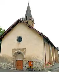 The church in Saint-Pons | |
Location of Saint-Pons | |
 Saint-Pons 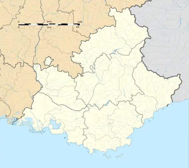 Saint-Pons | |
| Coordinates: 44°23′35″N 6°37′43″E / 44.3931°N 6.6286°E | |
| Country | France |
| Region | Provence-Alpes-Côte d'Azur |
| Department | Alpes-de-Haute-Provence |
| Arrondissement | Barcelonnette |
| Canton | Barcelonnette |
| Government | |
| • Mayor (2020–2026) | Dominique Okroglic[1] |
| Area 1 | 32.06 km2 (12.38 sq mi) |
| Population | 604 |
| • Density | 19/km2 (49/sq mi) |
| Time zone | UTC+01:00 (CET) |
| • Summer (DST) | UTC+02:00 (CEST) |
| INSEE/Postal code | 04195 /04400 |
| Elevation | 1,097–2,879 m (3,599–9,446 ft) (avg. 1,145 m or 3,757 ft) |
| 1 French Land Register data, which excludes lakes, ponds, glaciers > 1 km2 (0.386 sq mi or 247 acres) and river estuaries. | |
Saint-Pons (French pronunciation: [sɛ̃ pɔ̃s]; Occitan: Sant Ponç) is a commune in the Alpes-de-Haute-Provence department in southeastern France.
Population
| Year | Pop. | ±% p.a. |
|---|---|---|
| 1968 | 178 | — |
| 1975 | 350 | +10.14% |
| 1982 | 401 | +1.96% |
| 1990 | 507 | +2.98% |
| 1999 | 641 | +2.64% |
| 2009 | 742 | +1.47% |
| 2014 | 656 | −2.43% |
| 2020 | 600 | −1.48% |
| Source: INSEE[3] | ||
See also
References
- ↑ "Répertoire national des élus: les maires" (in French). data.gouv.fr, Plateforme ouverte des données publiques françaises. 13 September 2022.
- ↑ "Populations légales 2021". The National Institute of Statistics and Economic Studies. 28 December 2023.
- ↑ Population en historique depuis 1968, INSEE
Wikimedia Commons has media related to Saint-Pons, Alpes-de-Haute-Provence.
This article is issued from Wikipedia. The text is licensed under Creative Commons - Attribution - Sharealike. Additional terms may apply for the media files.