Saint-Pierre | |
|---|---|
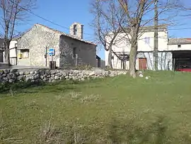 The chapel in the village of Saint-Pierre | |
 Coat of arms | |
Location of Saint-Pierre | |
 Saint-Pierre 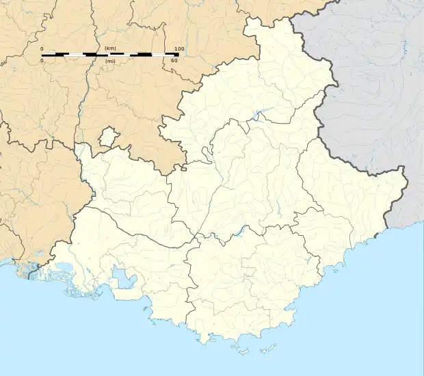 Saint-Pierre | |
| Coordinates: 43°54′46″N 6°55′31″E / 43.9128°N 6.9253°E | |
| Country | France |
| Region | Provence-Alpes-Côte d'Azur |
| Department | Alpes-de-Haute-Provence |
| Arrondissement | Castellane |
| Canton | Castellane |
| Government | |
| • Mayor (2020–2026) | Sauveur Patricola[1] |
| Area 1 | 5.62 km2 (2.17 sq mi) |
| Population | 96 |
| • Density | 17/km2 (44/sq mi) |
| Time zone | UTC+01:00 (CET) |
| • Summer (DST) | UTC+02:00 (CEST) |
| INSEE/Postal code | 04194 /06260 |
| Elevation | 617–1,199 m (2,024–3,934 ft) (avg. 760 m or 2,490 ft) |
| 1 French Land Register data, which excludes lakes, ponds, glaciers > 1 km2 (0.386 sq mi or 247 acres) and river estuaries. | |
Saint-Pierre (French pronunciation: [sɛ̃ pjɛʁ] ⓘ; Occitan: Sant Pèire) is a commune in the Alpes-de-Haute-Provence department in southeastern France.
Population
| Year | Pop. | ±% p.a. |
|---|---|---|
| 1968 | 51 | — |
| 1975 | 37 | −4.48% |
| 1982 | 50 | +4.40% |
| 1990 | 71 | +4.48% |
| 1999 | 73 | +0.31% |
| 2009 | 110 | +4.19% |
| 2014 | 97 | −2.48% |
| 2020 | 97 | +0.00% |
| Source: INSEE[3] | ||
See also
References
- ↑ "Répertoire national des élus: les maires". data.gouv.fr, Plateforme ouverte des données publiques françaises (in French). 2 December 2020.
- ↑ "Populations légales 2021". The National Institute of Statistics and Economic Studies. 28 December 2023.
- ↑ Population en historique depuis 1968, INSEE
Wikimedia Commons has media related to Saint-Pierre, Alpes-de-Haute-Provence.
This article is issued from Wikipedia. The text is licensed under Creative Commons - Attribution - Sharealike. Additional terms may apply for the media files.